
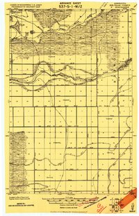
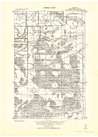
1918 Map of Winterroad
USGS Topo · Published 1918About this map
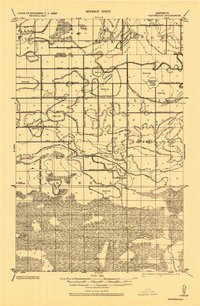
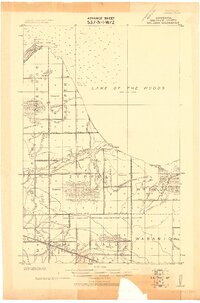
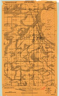
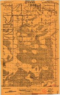
The Red Lake Guide Meridian defines the western landscape of this 1918 military survey, where the Roseau and Beltrami county line meets a vast network of drainage engineering. This area is defined by the early 20th-century effort to reclaim wetlands for agricultural use, evidenced by the extensive grid of Main Judicial Ditch No 62, Myhre Ditch, and Judicial Ditch No 23. Scattered across these engineered waterways are natural features like Winter Road Lake and Mulligan Lake.
Find a feature on this map
40 named features on this map. Tap any name to fly to it.
Don’t see what you’re looking for? This feature index may not catch every label — zoom into the map to look around manually.
Map Details
Editions of this 1918 Winterroad Map
2 editions found
Other maps of this area

1918 · Roosevelt
USGS Topo · 1:62,500

1918 · F
USGS Topo · 1:62,500
1918 · Williams
USGS Topo · 1:62,500
1918 · Warroad
USGS Topo · 1:62,500

1918 · Malcolm
USGS Topo · 1:62,500
1919 · Peppermint Creek
USGS Topo · 1:62,500
1919 · G
USGS Topo · 1:62,500
1943 · Peppermint Creek
USGS Topo · 1:62,500

1943 · Roosevelt
USGS Topo · 1:62,500
1943 · Warroad
USGS Topo · 1:62,500