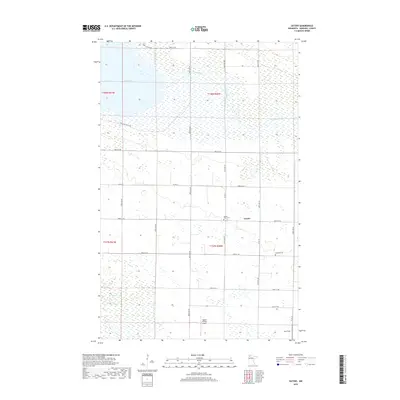
2019 Map of Gatzke
USGS Topo · Published 2019About this map
Gatzke stands as the central hub of this northern Minnesota landscape, where the agricultural grid meets the expansive wetlands and marshes of Marshall County. The northern reaches are dominated by Thief Lake and the meandering course of the Moose River, which winds eastward through heavy swamp and low-lying brush. This 2019 survey illustrates the persistent rural character of the region, defined by a strictly organized network of section lines and gravel roads such as Co Hwy 6 and 380th St NE. Local history is anchored by the Moose River Cem and Lundsted Cem, while modern land use is visible in the presence of aviation markers like Hagens Private Airport and Paul Field. To the southwest, the waters of Webster Cr filter through the marshland, emphasizing the intricate water management required in this prairie-wetland transition zone.
Find a feature on this map
30 named features on this map. Tap any name to fly to it.
Don’t see what you’re looking for? This feature index may not catch every label — zoom into the map to look around manually.
Map Details
Editions of this 2019 Gatzke Map
This is the sole edition of this map. No revisions or reprints were ever made.
Other maps of this area

1918 · Rollis
USGS Topo · 1:62,500

1918 · Pencer
USGS Topo · 1:62,500

1918 · Garland
USGS Topo · 1:62,500

1919 · Liner
USGS Topo · 1:62,500

1943 · Rollis
USGS Topo · 1:62,500

1954 · Roseau
USGS Topo · 1:250,000

1957 · Roseau
USGS Topo · 1:250,000

1958 · Roseau
USGS Topo · 1:250,000
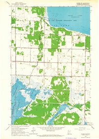
1962 · Gatzke NW
USGS Topo · 1:24,000

1962 · Gatzke SE
USGS Topo · 1:24,000