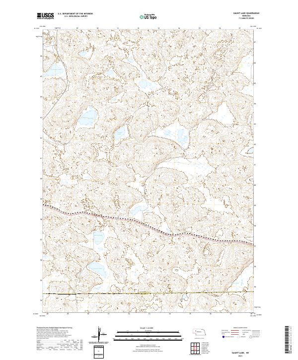
2021 Map of Gaunt Lake
USGS Topo · Published 2021About this map
Sheridan County's high plains are defined by a complex network of ephemeral and permanent water bodies, notably Gaunt Lake and Thurston Lake. This landscape, characterized by the undulating sand hills of western Nebraska, shows a sparse human footprint centered on essential water resources and primitive transit routes. Navigation through this terrain relies on rugged paths such as 109th Trl and 217 Trl, which connect the scattered lakes across the townships. Along the southern edge of the survey, the political boundary between Sheridan Co and Garden Co cuts a straight line through the natural lake basins. Water bodies like Kennedy Lake, Dillmans Lake, and Louden Lake serve as the primary landmarks in an area dominated by grazing land and open range, reflecting the enduring ranching character of the Nebraska Panhandle.
Find a feature on this map
17 named features on this map. Tap any name to fly to it.
Don’t see what you’re looking for? This feature index may not catch every label — zoom into the map to look around manually.
Map Details
Editions of this 2021 Gaunt Lake Map
This is the sole edition of this map. No revisions or reprints were ever made.
Other maps of this area

1948 · Bingham
USGS Topo · 1:62,500

1948 · Lakeside
USGS Topo · 1:62,500

1949 · Mumper
USGS Topo · 1:62,500

1950 · Longfellow Lake
USGS Topo · 1:62,500

1950 · Lakeside
USGS Topo · 1:62,500

1950 · Bingham
USGS Topo · 1:62,500

1954 · Scottsbluff
USGS Topo · 1:250,000

1955 · Alliance
USGS Topo · 1:250,000

1957 · Alliance
USGS Topo · 1:250,000

1958 · Alliance
USGS Topo · 1:250,000