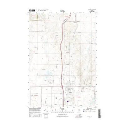
2014 Map of Gaylord
USGS Topo · Published 2014About this map
Gaylord serves as the central hub of this northern Michigan survey, situated along the divide between the Sturgeon River watershed and the numerous glacial lakes that define the region's topography. The landscape is characterized by a dense network of water bodies, including the sequentially named Lake One through Lake Five, as well as Clifford Lake and Olund Lake. These features, alongside Ironstone Springs and Mossback Cr, illustrate the complex hydrology of the High Plains area.
Find a feature on this map
97 named features on this map. Tap any name to fly to it.
Don’t see what you’re looking for? This feature index may not catch every label — zoom into the map to look around manually.
Map Details
Editions of this 2014 Gaylord Map
This is the sole edition of this map. No revisions or reprints were ever made.
Other maps of this area

1949 · Otsego Lake
USGS Topo · 1:62,500

1950 · Turtle Lake
USGS Topo · 1:24,000

1951 · Turtle Lake
USGS Topo · 1:24,000

1951 · Otsego Lake
USGS Topo · 1:24,000

1954 · Gaylord
USGS Topo · 1:62,500

1954 · Traverse City
USGS Topo · 1:250,000

1955 · Cheboygan
USGS Topo · 1:250,000

1956 · Alba
USGS Topo · 1:62,500

1958 · Cheboygan
USGS Topo · 1:250,000

1958 · Traverse City
USGS Topo · 1:250,000