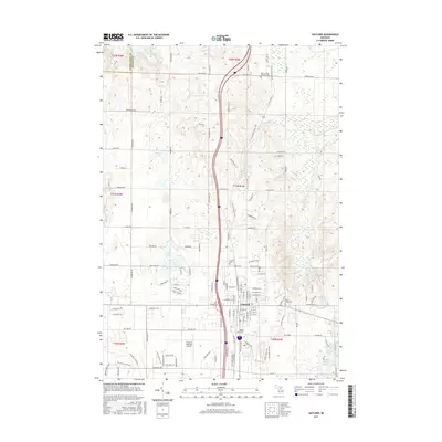
2017 Map of Gaylord
USGS Topo · Published 2017About this map
The city of Gaylord serves as the focal point of this Otsego County survey, situated at the high point of the northern Lower Peninsula. The landscape is defined by its glacial origins, visible in the numerous kettle lakes and springs that dot the terrain, including Olund Lake, McCoy Lake, and the cluster known as Five Lakes. The headwaters of the Sturgeon River flow through the eastern portion of the map, while the western edge reaches the boundary with Charlevoix County.
Find a feature on this map
74 named features on this map. Tap any name to fly to it.
Don’t see what you’re looking for? This feature index may not catch every label — zoom into the map to look around manually.
Map Details
Editions of this 2017 Gaylord Map
This is the sole edition of this map. No revisions or reprints were ever made.
Other maps of this area

1949 · Otsego Lake
USGS Topo · 1:62,500

1950 · Turtle Lake
USGS Topo · 1:24,000

1951 · Turtle Lake
USGS Topo · 1:24,000

1951 · Otsego Lake
USGS Topo · 1:24,000

1954 · Gaylord
USGS Topo · 1:62,500

1954 · Traverse City
USGS Topo · 1:250,000

1955 · Cheboygan
USGS Topo · 1:250,000

1956 · Alba
USGS Topo · 1:62,500

1958 · Cheboygan
USGS Topo · 1:250,000

1958 · Traverse City
USGS Topo · 1:250,000