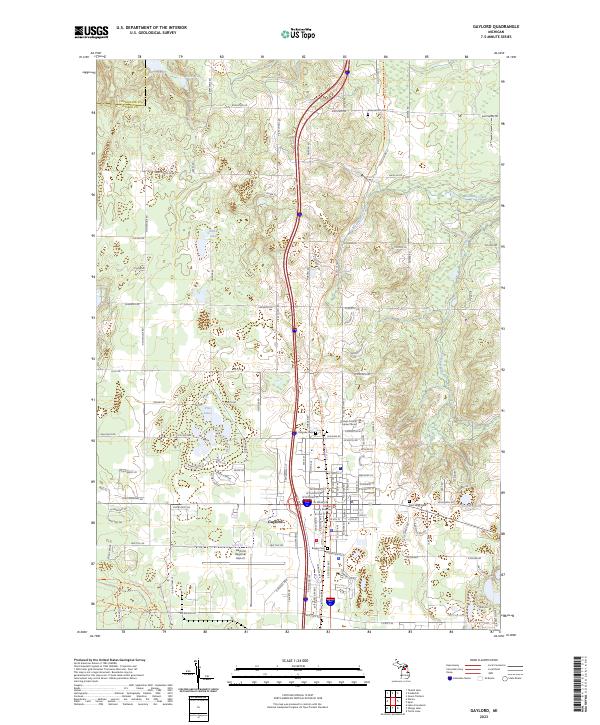
2023 Map of Gaylord
USGS Topo · Published 2023About this map
Gaylord serves as the central hub of this survey, illustrating the modern layout of the city and its surrounding townships in Otsego County. The map details a landscape transition from the civic center, marked by the Otsego County Building and Otsego County Alpine Center, to the natural hydrology of the northern Michigan interior. Water features such as the Sturgeon River and Mossback Creek define the eastern drainage, while numerous glacial lakes like Five Lakes, Clifford Lake, and McCoy Lake dot the terrain.
Find a feature on this map
64 named features on this map. Tap any name to fly to it.
Don’t see what you’re looking for? This feature index may not catch every label — zoom into the map to look around manually.
Map Details
Editions of this 2023 Gaylord Map
This is the sole edition of this map. No revisions or reprints were ever made.
Other maps of this area
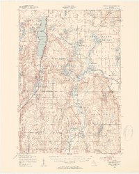
1949 · Otsego Lake
USGS Topo · 1:62,500
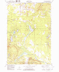
1950 · Turtle Lake
USGS Topo · 1:24,000
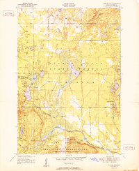
1951 · Turtle Lake
USGS Topo · 1:24,000
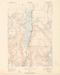
1951 · Otsego Lake
USGS Topo · 1:24,000
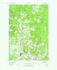
1954 · Gaylord
USGS Topo · 1:62,500

1954 · Traverse City
USGS Topo · 1:250,000

1955 · Cheboygan
USGS Topo · 1:250,000
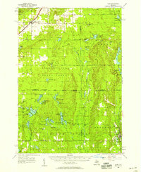
1956 · Alba
USGS Topo · 1:62,500

1958 · Cheboygan
USGS Topo · 1:250,000

1958 · Traverse City
USGS Topo · 1:250,000