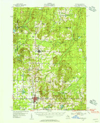
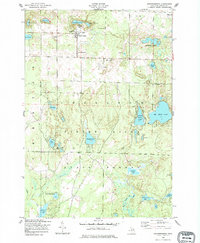
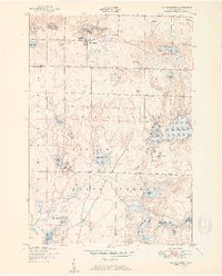
1954 Map of Gaylord
USGS Topo · Published 1956About this map
State highway commissioner Charles M. Ziegler collaborated on this mid-century survey of the northern Lower Peninsula, revealing a landscape defined by expansive state forests and deep-set glacial lakes. The village of Gaylord serves as the regional hub, where the New York Central railroad corridor meets the Otsego County Airport and the Northern Michigan Sanatorium. This era captures the transition of the northern woods into a recreation and institutional center, noted by the presence of a Drive-in Theater and the Pontiacs Club.
Find a feature on this map
73 named features on this map. Tap any name to fly to it.
Don’t see what you’re looking for? This feature index may not catch every label — zoom into the map to look around manually.
Map Details
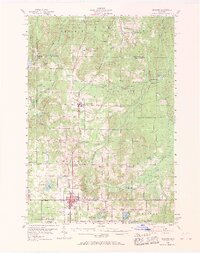
Editions of this 1954 Gaylord Map
3 editions found
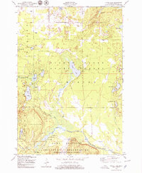
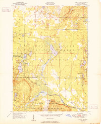
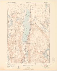
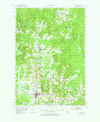
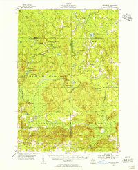
Other maps of this area
1949 · Lewiston
USGS Topo · 1:62,500
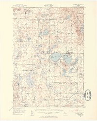
1949 · Otsego Lake
USGS Topo · 1:62,500
1950 · Johannesburg
USGS Topo · 1:24,000
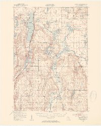
1950 · Turtle Lake
USGS Topo · 1:24,000
1951 · Turtle Lake
USGS Topo · 1:24,000
1951 · Otsego Lake
USGS Topo · 1:24,000
1951 · Johannesburg
USGS Topo · 1:24,000
1954 · Gaylord
USGS Topo · 1:62,500
1954 · Hetherton
USGS Topo · 1:62,500

1954 · Traverse City
USGS Topo · 1:250,000