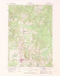
1954 Map of Gaylord
USGS Topo · Published 1969About this map
Gaylord and Vanderbilt serve as the primary anchors of this mid-century Otsego County landscape, situated along the New York Central Railroad corridor. The area is defined by a heavy timber and conservation presence, spanning the Hardwood State Forest and the Pigeon River State Forest. Notable institutional landmarks include the Northern Michigan Sanitorium and the County Hospital near the Gaylord city limits.
Find a feature on this map
74 named features on this map. Tap any name to fly to it.
Don’t see what you’re looking for? This feature index may not catch every label — zoom into the map to look around manually.
Map Details
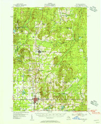
Editions of this 1954 Gaylord Map
3 editions found
Other maps of this area

1949 · Lewiston
USGS Topo · 1:62,500

1949 · Otsego Lake
USGS Topo · 1:62,500

1950 · Johannesburg
USGS Topo · 1:24,000

1950 · Turtle Lake
USGS Topo · 1:24,000

1951 · Turtle Lake
USGS Topo · 1:24,000

1951 · Otsego Lake
USGS Topo · 1:24,000

1951 · Johannesburg
USGS Topo · 1:24,000

1954 · Gaylord
USGS Topo · 1:62,500

1954 · Hetherton
USGS Topo · 1:62,500

1954 · Traverse City
USGS Topo · 1:250,000