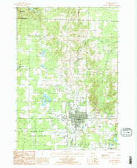
1986 Map of Gaylord
USGS Topo · Published 1986About this map
Gaylord anchors this mid-1980s provisional survey, showing the community's layout and infrastructure during a period of steady growth in Northern Michigan. The transition from the developed town center to the surrounding woodlands is marked by the Mackinaw State Forest and the expansive grounds of the Otsego County Airport. This landscape is defined by its glacial hydrology, featuring numerous water bodies such as Five Lakes, Olund Lake, and Kassuba Lake that punctuate the terrain.
Find a feature on this map
30 named features on this map. Tap any name to fly to it.
Don’t see what you’re looking for? This feature index may not catch every label — zoom into the map to look around manually.
Map Details
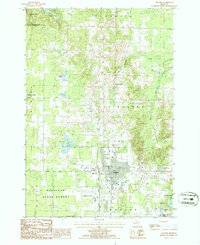
Editions of this 1986 Gaylord Map
2 editions found
Other maps of this area

1949 · Otsego Lake
USGS Topo · 1:62,500

1950 · Turtle Lake
USGS Topo · 1:24,000

1951 · Turtle Lake
USGS Topo · 1:24,000

1951 · Otsego Lake
USGS Topo · 1:24,000

1954 · Gaylord
USGS Topo · 1:62,500

1954 · Traverse City
USGS Topo · 1:250,000

1955 · Cheboygan
USGS Topo · 1:250,000

1956 · Alba
USGS Topo · 1:62,500

1958 · Cheboygan
USGS Topo · 1:250,000

1958 · Traverse City
USGS Topo · 1:250,000