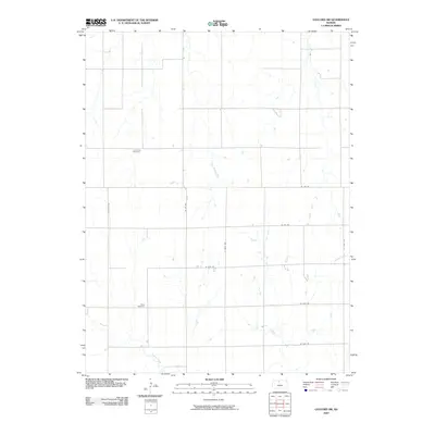
2009 Map of Gaylord SW
USGS Topo · Published 2009About this map
Leasburg Cemetery and Grant Cemetery anchor this section of northern Kansas, serving as vital landmarks for genealogists tracing early families in Osborne County. The landscape is defined by the headwaters and drainage of several watercourses, including Glen Rock Creek and Laurence Creek, which weave through a structured grid of rural section roads. This 2009 survey reflects the enduring agricultural organization of the Great Plains, where the road network follows strict cardinal alignments. Primary local routes such as Co Rd 657 and Co Rd 362 connect the scattered farmsteads and rural properties, while Crooked Creek cuts across the southern reach of the quadrangle. The map is a precise record of late-twentieth and early twenty-first-century rural land use, documenting the placement of cemeteries and infrastructure that have defined this community for generations.
Find a feature on this map
14 named features on this map. Tap any name to fly to it.
Don’t see what you’re looking for? This feature index may not catch every label — zoom into the map to look around manually.
Map Details
Editions of this 2009 Gaylord SW Map
This is the sole edition of this map. No revisions or reprints were ever made.
Other maps of this area

1893 · Smith Center
USGS Topo · 1:125,000

1893 · Phillipsburg
USGS Topo · 1:125,000

1896 · Osborne
USGS Topo · 1:125,000

1896 · Plainville
USGS Topo · 1:125,000

1953 · Bloomington
USGS Topo · 1:24,000

1953 · Woodston
USGS Topo · 1:24,000

1953 · Alton
USGS Topo · 1:24,000

1955 · Beloit
USGS Topo · 1:250,000

1959 · Beloit
USGS Topo · 1:250,000

1961 · Kirwin SE
USGS Topo · 1:24,000