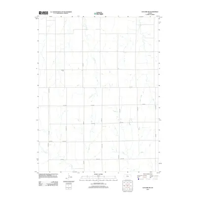
2012 Map of Gaylord SW
USGS Topo · Published 2012About this map
Glen Rock Creek and Crooked Creek define the drainage patterns of this rural Kansas landscape, where a precise grid of county roads supports the local agricultural economy. The area is marked by longstanding community sites including Leasburg Cemetery in the northwestern quadrant and Grant Cemetery further south, which serve as primary markers for genealogical research and historical land use. This survey illustrates the modern configuration of rural infrastructure, from County Road 515 to South 270th Avenue, showing how the Section Land Survey system continues to organize the prairie into a network of accessible farmsteads and transport routes.
Find a feature on this map
19 named features on this map. Tap any name to fly to it.
Don’t see what you’re looking for? This feature index may not catch every label — zoom into the map to look around manually.
Map Details
Editions of this 2012 Gaylord SW Map
This is the sole edition of this map. No revisions or reprints were ever made.
Other maps of this area

1893 · Smith Center
USGS Topo · 1:125,000

1893 · Phillipsburg
USGS Topo · 1:125,000

1896 · Osborne
USGS Topo · 1:125,000

1896 · Plainville
USGS Topo · 1:125,000

1953 · Bloomington
USGS Topo · 1:24,000

1953 · Woodston
USGS Topo · 1:24,000

1953 · Alton
USGS Topo · 1:24,000

1955 · Beloit
USGS Topo · 1:250,000

1959 · Beloit
USGS Topo · 1:250,000

1961 · Kirwin SE
USGS Topo · 1:24,000