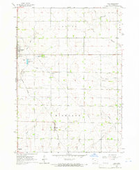
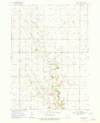
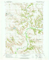
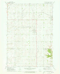
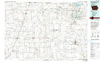
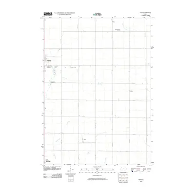
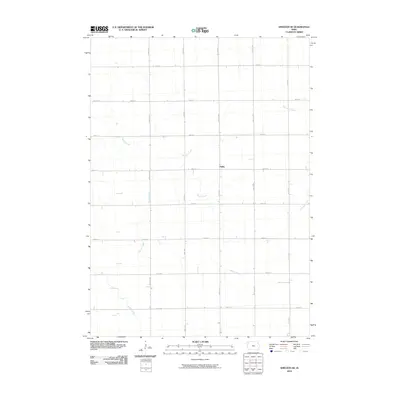
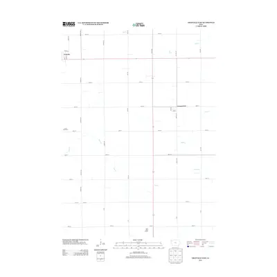
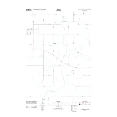
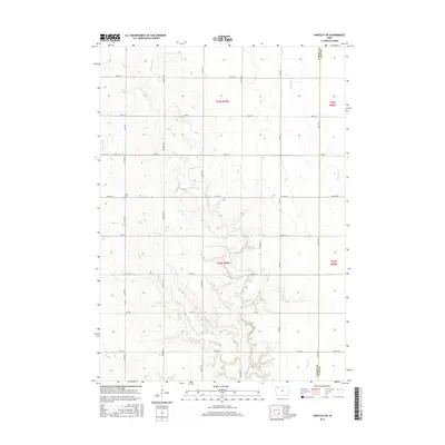
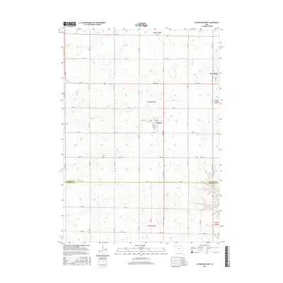
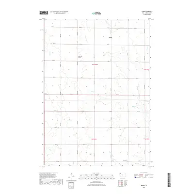
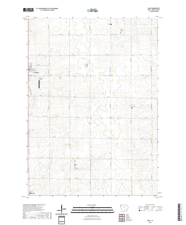
1964 Map of Gaza
USGS Topo · Published 1966About this map
Gaza and the seat of Primghar anchor this mid-century survey of O’Brien County, where the agricultural grid is etched with family-named creeks and legacy institutions. The Illinois Central railroad cuts a diagonal path through the landscape, connecting the elevators of the small towns to the wider world. The map captures a transition in civic life, showing the County Home and County Fairground alongside the Primghar Airport, documenting how public infrastructure evolved in the post-war era.
Find a feature on this map
30 named features on this map. Tap any name to fly to it.
Don’t see what you’re looking for? This feature index may not catch every label — zoom into the map to look around manually.
Map Details
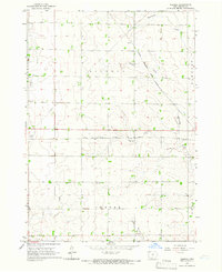
Editions of this 1964 Gaza Map
This is the sole edition of this map. No revisions or reprints were ever made.
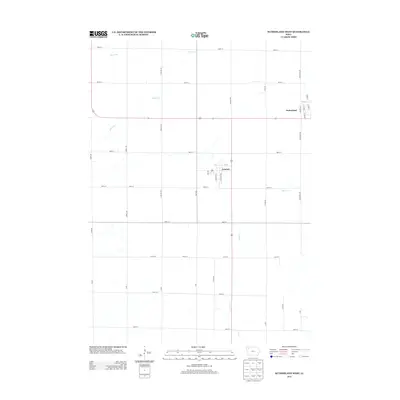
Historical Maps of Primghar Through Time
43 maps found
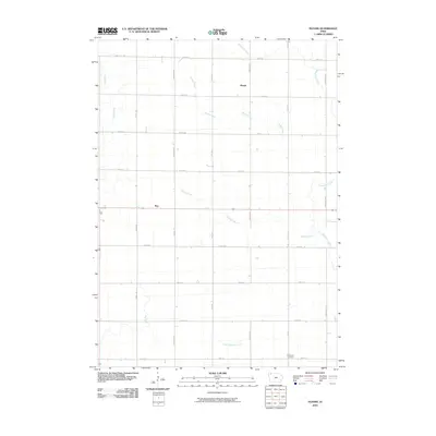
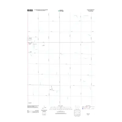
1964 Gaza
O'Brien County, IA
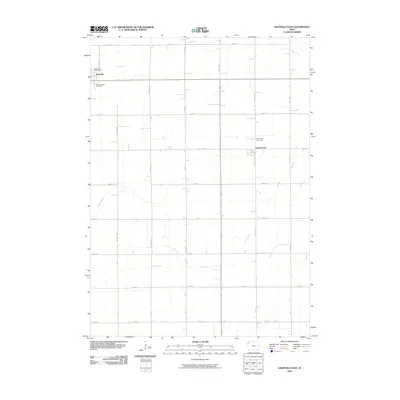
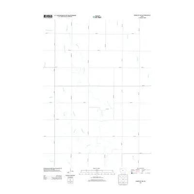
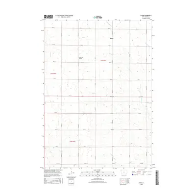
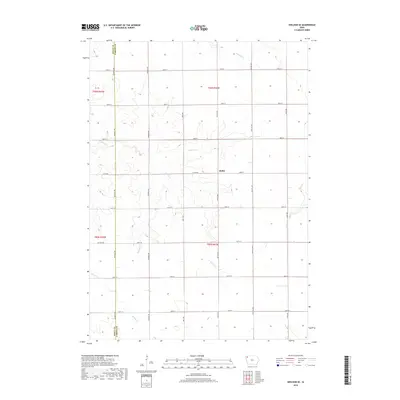
1964 Plessis
O'Brien County, IA
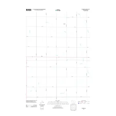
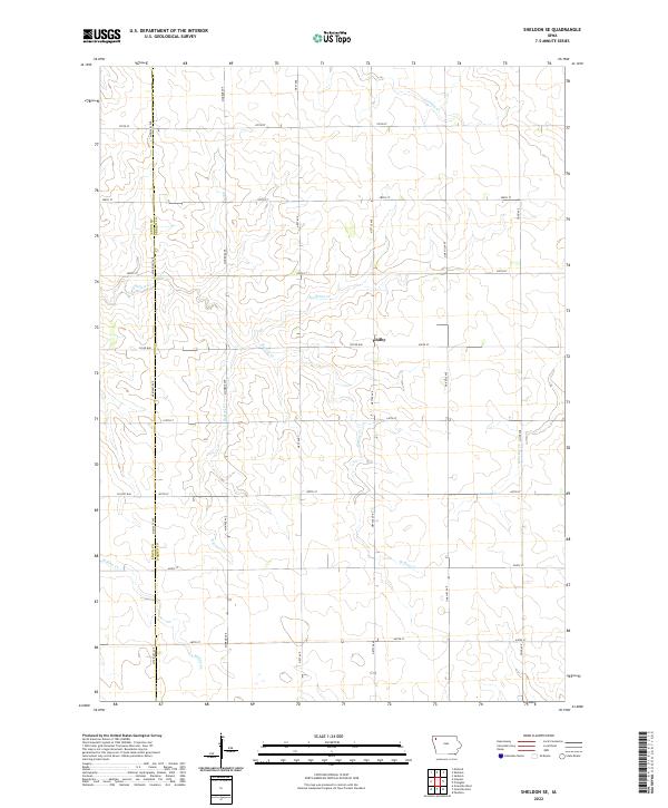
1964 Sheldon SE
O'Brien County, IA
1969 Granville East
O'Brien County, IA
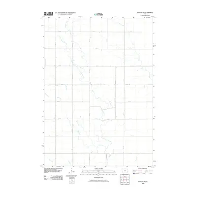
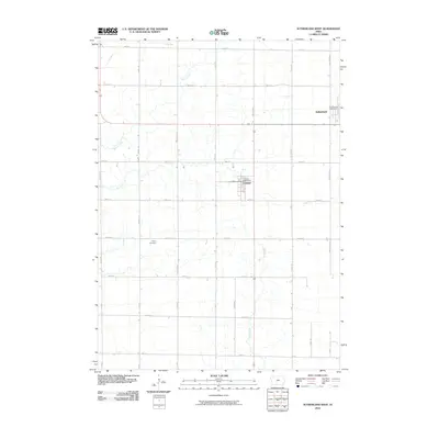
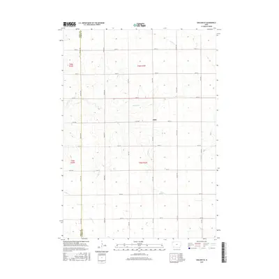
1970 Hartley SW
O'Brien County, IA
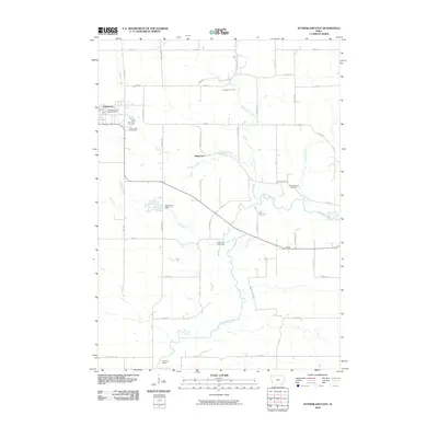
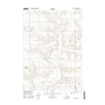
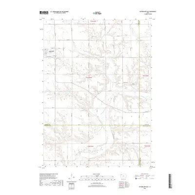
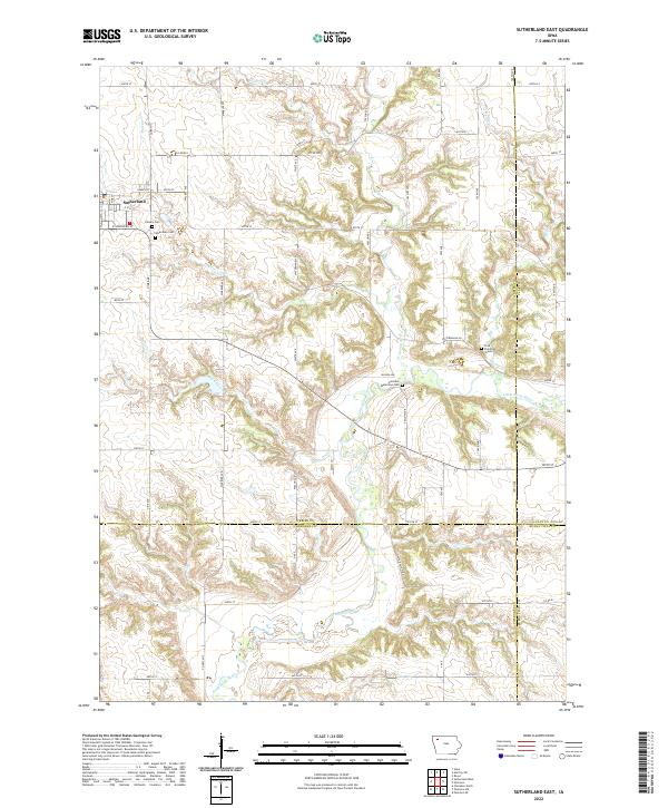
1971 Sutherland East
O'Brien County, IA
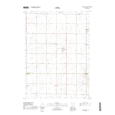
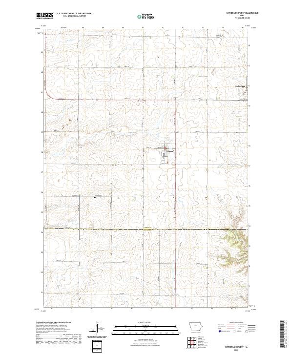
1971 Sutherland West
O'Brien County, IA
1985 Iowa Great Lakes
O'Brien County, IA
2010 Gaza
O'Brien County, IA
2010 Granville East
O'Brien County, IA
2010 Hartley SW
O'Brien County, IA
2010 Plessis
O'Brien County, IA
2010 Sheldon SE
O'Brien County, IA
2010 Sutherland East
O'Brien County, IA
2010 Sutherland West
O'Brien County, IA
2013 Gaza
O'Brien County, IA
2013 Granville East
O'Brien County, IA
2013 Hartley SW
O'Brien County, IA
2013 Plessis
O'Brien County, IA
2013 Sheldon SE
O'Brien County, IA
2013 Sutherland East
O'Brien County, IA
2013 Sutherland West
O'Brien County, IA
2015 Gaza
O'Brien County, IA
2015 Granville East
O'Brien County, IA
2015 Hartley SW
O'Brien County, IA
2015 Plessis
O'Brien County, IA
2015 Sheldon SE
O'Brien County, IA
2015 Sutherland East
O'Brien County, IA
2015 Sutherland West
O'Brien County, IA
2018 Gaza
O'Brien County, IA
2018 Granville East
O'Brien County, IA
2018 Hartley SW
O'Brien County, IA
2018 Plessis
O'Brien County, IA
2018 Sheldon SE
O'Brien County, IA
2018 Sutherland East
O'Brien County, IA
2018 Sutherland West
O'Brien County, IA
2022 Gaza
O'Brien County, IA
2022 Granville East
O'Brien County, IA
2022 Hartley SW
O'Brien County, IA
2022 Plessis
O'Brien County, IA
2022 Sheldon SE
O'Brien County, IA
2022 Sutherland East
O'Brien County, IA
2022 Sutherland West
O'Brien County, IA