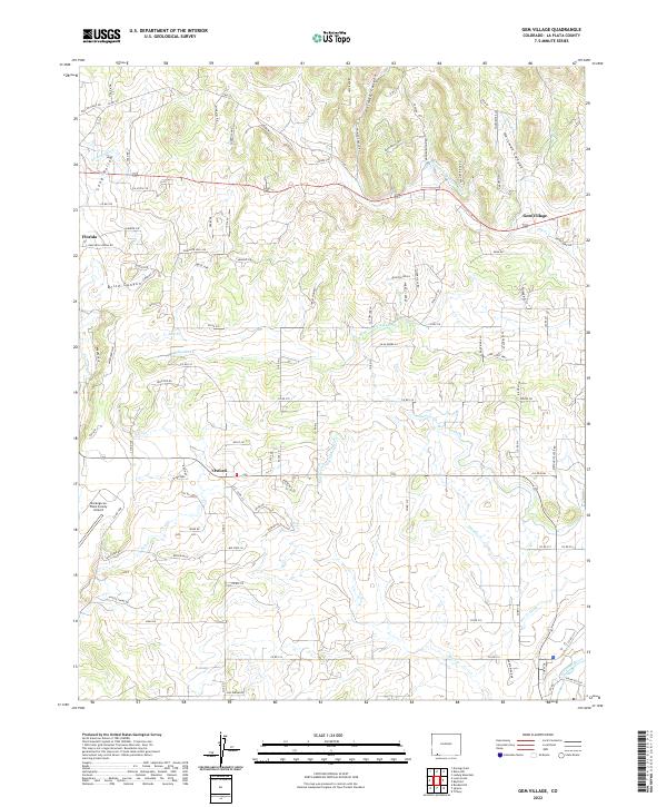
2022 Map of Gem Village
USGS Topo · Published 2022About this map
Gem Village and Oxford serve as the primary nodes of settlement in this high-desert landscape, where water management is the defining feature of the local economy. The terrain is intricately carved by canyons like Brice Canyon, Holman Canyon, and Hartman Canyon, yet it is the human-engineered network of irrigation that sustains the land. An extensive system of waterways, including the Pioneer Ditch, Morrison Consolidated Ditch, and King Consolidated Ditch, weaves through the township lines of T34N and T33N to direct flow from the Florida River and the Los Pinos River. This reliance on water rights and gravity-fed systems highlights the agricultural heritage of the region.
Find a feature on this map
107 named features on this map. Tap any name to fly to it.
Don’t see what you’re looking for? This feature index may not catch every label — zoom into the map to look around manually.
Map Details
Editions of this 2022 Gem Village Map
This is the sole edition of this map. No revisions or reprints were ever made.
Other maps of this area

1898 · Durango
USGS Topo · 1:62,500

1907 · Durango
USGS Topo · 1:62,500

1908 · Ignacio
USGS Topo · 1:125,000

1908 · Durango
USGS Topo · 1:62,500

1924 · Ignacio
USGS Topo · 1:125,000

1945 · Durango
USGS Topo · 1:250,000

1953 · Durango
USGS Topo · 1:250,000

1954 · Durango
USGS Topo · 1:250,000

1961 · Durango
USGS Topo · 1:250,000

1963 · Durango
USGS Topo · 1:250,000