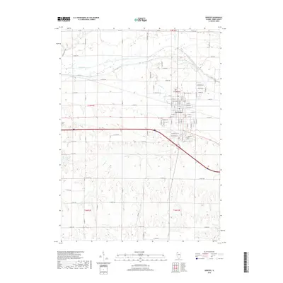
2018 Map of Geneseo
USGS Topo · Published 2018About this map
Geneseo serves as the central hub of this Henry County landscape, where the town's grid meets the meandering path of Geneseo Cr. The geography transitions from the concentrated residential blocks near W Main St and E Main St to the riparian corridors of the Green River in the north. Genealogists can find several established burial grounds, including North Cem near the town center and the more outlying Edford Cem. To the south, the terrain becomes more varied as it follows the drainage of Oak Cr and the waters of Swint Lake. The layout of the road network, including historic routes like Canal Rd and Grange Rd, highlights the area's agricultural foundations and the importance of waterway access in its development.
Find a feature on this map
51 named features on this map. Tap any name to fly to it.
Don’t see what you’re looking for? This feature index may not catch every label — zoom into the map to look around manually.
Map Details
Editions of this 2018 Geneseo Map
This is the sole edition of this map. No revisions or reprints were ever made.
Other maps of this area
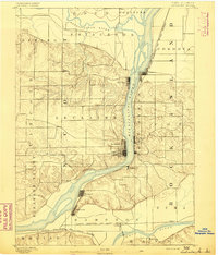
1892 · Leclaire
USGS Topo · 1:62,500
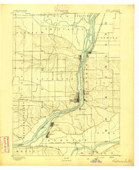
1893 · Leclaire
USGS Topo · 1:62,500
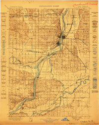
1899 · Clinton
USGS Topo · 1:125,000
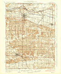
1934 · Geneseo
USGS Topo · 1:62,500
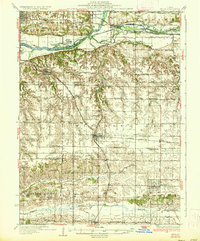
1937 · Orion
USGS Topo · 1:62,500
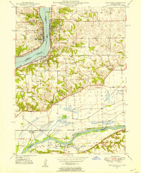
1949 · Port Byron
USGS Topo · 1:24,000
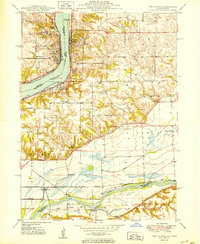
1950 · Port Byron
USGS Topo · 1:24,000
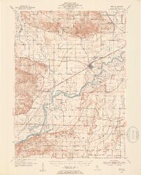
1952 · Erie
USGS Topo · 1:62,500
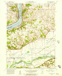
1953 · Port Byron
USGS Topo · 1:24,000
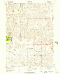
1953 · German Corner
USGS Topo · 1:24,000