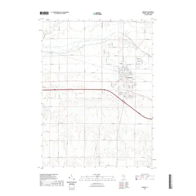
2021 Map of Geneseo
USGS Topo · Published 2021About this map
The Geneseo street grid serves as the hub for this Henry County landscape, situated at the confluence of several regional corridors and waterways. To the north, the Green River and the parallel Canal Rd traverse the flat valley floor, while the town itself is built along the winding path of Geneseo Cr. This creek meanders through the heart of the settlement before continuing south through more varied terrain. Historical research is supported by the presence of multiple burial grounds, including North Cem near the northern edge of town, Oakwood Cem to the east, and the outlying Edford Cem to the west. The southern half of the map reveals a shift in the landscape, where smaller water features like Swint Lake and Oak Cr are found amidst a dense network of county roads like N 1900th Ave and N 1600th Ave.
Find a feature on this map
80 named features on this map. Tap any name to fly to it.
Don’t see what you’re looking for? This feature index may not catch every label — zoom into the map to look around manually.
Map Details
Editions of this 2021 Geneseo Map
This is the sole edition of this map. No revisions or reprints were ever made.
Other maps of this area

1892 · Leclaire
USGS Topo · 1:62,500

1893 · Leclaire
USGS Topo · 1:62,500

1899 · Clinton
USGS Topo · 1:125,000

1934 · Geneseo
USGS Topo · 1:62,500

1937 · Orion
USGS Topo · 1:62,500

1949 · Port Byron
USGS Topo · 1:24,000

1950 · Port Byron
USGS Topo · 1:24,000

1952 · Erie
USGS Topo · 1:62,500
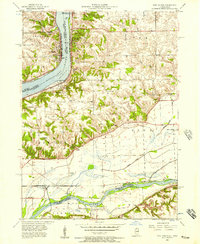
1953 · Port Byron
USGS Topo · 1:24,000

1953 · German Corner
USGS Topo · 1:24,000