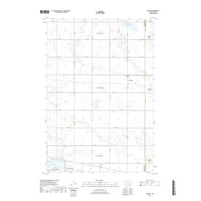
2017 Map of Geneseo
USGS Topo · Published 2017About this map
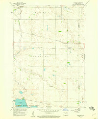
Geneseo serves as a central point in this prairie landscape, situated near the Sargent and Richland county line. The terrain is characterized by its complex hydrography, where the Wild Rice River and Shortfoot Creek meander through a series of wetlands and small basins. To the north, Murach Lake sits within a cluster of water bodies, while the southern portion of the sheet is anchored by a reach of Lake Tewaukon. This survey illustrates the rigid section-line road network typical of North Dakota, where routes like 149th Ave SE and 93rd St SE create a geometric grid over the natural drainage patterns. Genealogists will find the Saint Martin Cemetery located just north of the settlement, providing a specific point of reference for local family history research in this agricultural region.
Find a feature on this map
32 named features on this map. Tap any name to fly to it.
Don’t see what you’re looking for? This feature index may not catch every label — zoom into the map to look around manually.
Map Details
Editions of this 2017 Geneseo Map
This is the sole edition of this map. No revisions or reprints were ever made.
Other maps of this area
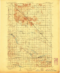
1907 · Wyndmere
USGS Topo · 1:125,000
1953 · Milbank
USGS Topo · 1:250,000

1953 · Fargo
USGS Topo · 1:250,000

1956 · Fargo
USGS Topo · 1:250,000
1958 · Milbank
USGS Topo · 1:250,000
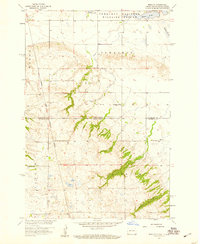
1958 · Marlow
USGS Topo · 1:24,000
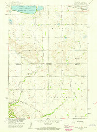
1958 · Veblen NE
USGS Topo · 1:24,000
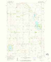
1958 · Cayuga NW
USGS Topo · 1:24,000
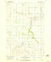
1958 · Hamlin
USGS Topo · 1:24,000
1958 · Geneseo
USGS Topo · 1:24,000