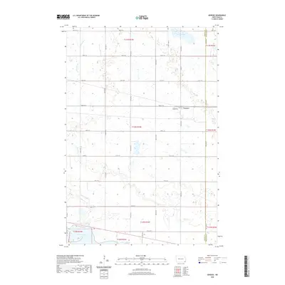
2020 Map of Geneseo
USGS Topo · Published 2020About this map
Geneseo serves as the primary settlement on this Sargent County landscape, situated along the grid of agricultural roads that define the region. The community is anchored by the Saint Martin Catholic Cem, which provides a focal point for local genealogical interest. The geography is dominated by a complex network of glacial prairie potholes and water bodies, including Murach Lake to the north and the northern reaches of Lake Tewaukon to the southwest. The Wild Rice River and Shortfoot Cr meander through the terrain, illustrating the natural drainage patterns of the eastern North Dakota plains. A distinct boundary between Sargent Co and Richland Co is marked on the eastern edge of the survey, where the landscape transitions toward Grass Lake. The inclusion of the Visitor Center Trail near the lake suggests the area's role in conservation and public recreation.
Find a feature on this map
28 named features on this map. Tap any name to fly to it.
Don’t see what you’re looking for? This feature index may not catch every label — zoom into the map to look around manually.
Map Details
Editions of this 2020 Geneseo Map
This is the sole edition of this map. No revisions or reprints were ever made.
Other maps of this area

1907 · Wyndmere
USGS Topo · 1:125,000

1953 · Milbank
USGS Topo · 1:250,000

1953 · Fargo
USGS Topo · 1:250,000

1956 · Fargo
USGS Topo · 1:250,000

1958 · Milbank
USGS Topo · 1:250,000

1958 · Marlow
USGS Topo · 1:24,000

1958 · Veblen NE
USGS Topo · 1:24,000

1958 · Cayuga NW
USGS Topo · 1:24,000

1958 · Hamlin
USGS Topo · 1:24,000

1958 · Geneseo
USGS Topo · 1:24,000