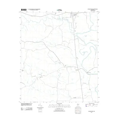
2012 Map of Georgetown
USGS Topo · Published 2012About this map
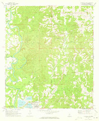
The Pearl River and Strong River converge in this corner of Copiah County, shaping a landscape defined by meandering waterways and rural riverfront settlements. Georgetown sits at the northern edge, its street grid including Main St and Broad St positioned near the river's path. Further south, the community of Rockport serves as a local crossing point, anchored by the Rockport Bridge. The area is notably dense with family and community burial grounds, such as Lily Mae Cem and Providence Cem, which provide significant points of interest for genealogical research in this part of Mississippi.
Find a feature on this map
60 named features on this map. Tap any name to fly to it.
Don’t see what you’re looking for? This feature index may not catch every label — zoom into the map to look around manually.
Map Details
Editions of this 2012 Georgetown Map
This is the sole edition of this map. No revisions or reprints were ever made.
Other maps of this area

1953 · Natchez
USGS Topo · 1:250,000

1956 · Natchez
USGS Topo · 1:250,000

1959 · Natchez
USGS Topo · 1:250,000
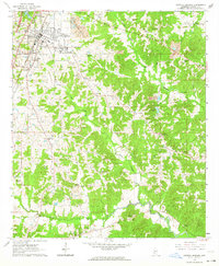
1963 · Crystal Springs
USGS Topo · 1:24,000

1963 · Shady Grove
USGS Topo · 1:24,000
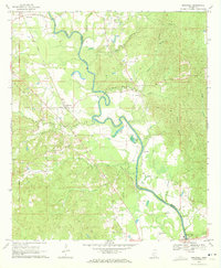
1970 · Hopewell
USGS Topo · 1:24,000
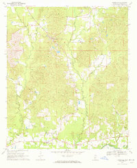
1970 · Harrisville
USGS Topo · 1:24,000

1971 · Schley
USGS Topo · 1:24,000
1971 · Monticello NE
USGS Topo · 1:24,000

1971 · Oma
USGS Topo · 1:24,000