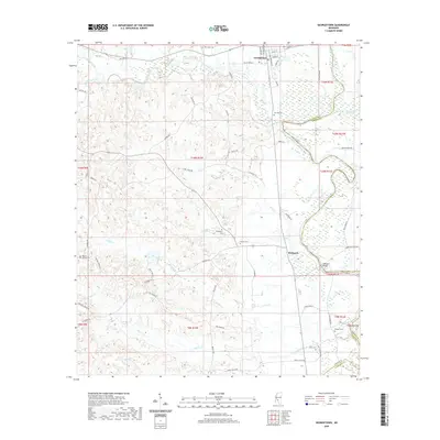
2020 Map of Georgetown
USGS Topo · Published 2020About this map
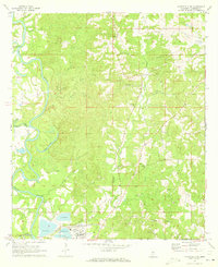
Georgetown serves as a focal point near the northern border of this Copiah County survey, situated near the confluence where the Strong River joins the Pearl River. The landscape is defined by the winding course of the Pearl River, which forms a natural boundary between Copiah and Simpson counties. Further south, the settlement of Rockport sits on the western bank, marked by the prominent Rockport Bridge crossing.
Find a feature on this map
72 named features on this map. Tap any name to fly to it.
Don’t see what you’re looking for? This feature index may not catch every label — zoom into the map to look around manually.
Map Details
Editions of this 2020 Georgetown Map
This is the sole edition of this map. No revisions or reprints were ever made.
Other maps of this area

1953 · Natchez
USGS Topo · 1:250,000

1956 · Natchez
USGS Topo · 1:250,000

1959 · Natchez
USGS Topo · 1:250,000
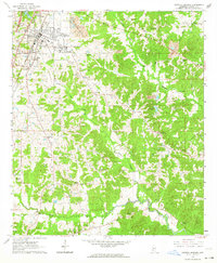
1963 · Crystal Springs
USGS Topo · 1:24,000

1963 · Shady Grove
USGS Topo · 1:24,000
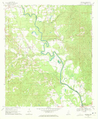
1970 · Hopewell
USGS Topo · 1:24,000
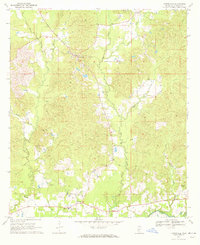
1970 · Harrisville
USGS Topo · 1:24,000

1971 · Schley
USGS Topo · 1:24,000
1971 · Monticello NE
USGS Topo · 1:24,000

1971 · Oma
USGS Topo · 1:24,000