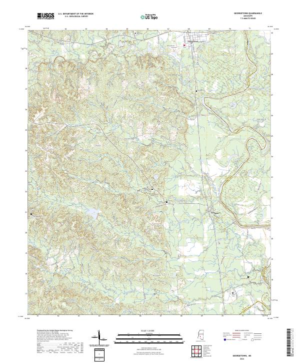
2024 Map of Georgetown
USGS Topo · Published 2024About this map
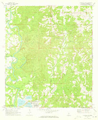
Georgetown and Rockport anchor this landscape where the Strong River joins the larger Pearl River. The terrain is defined by a dense network of tributaries including Copiah Creek, Steel Creek, and Indian Creek, which carve through the rural reaches of Copiah, Simpson, and Lawrence counties. For genealogists, the map is a significant record of local burials, pinpointing numerous family and community sites such as New Hope Cem, Lily Mae Cem, and Norman Cem near the riverbanks. The influence of the timber and agricultural economy is evident in the naming of local routes like Sugar Farm Rd and Pearl Valley Rd, while the older infrastructure of Georgetown is reflected in streets like Railroad Ave and Main St. This survey provides a precise modern look at the land's hydrology and small-town layout.
Find a feature on this map
65 named features on this map. Tap any name to fly to it.
Don’t see what you’re looking for? This feature index may not catch every label — zoom into the map to look around manually.
Map Details
Editions of this 2024 Georgetown Map
This is the sole edition of this map. No revisions or reprints were ever made.
Other maps of this area

1953 · Natchez
USGS Topo · 1:250,000

1956 · Natchez
USGS Topo · 1:250,000

1959 · Natchez
USGS Topo · 1:250,000
1963 · Crystal Springs
USGS Topo · 1:24,000

1963 · Shady Grove
USGS Topo · 1:24,000
1970 · Hopewell
USGS Topo · 1:24,000
1970 · Harrisville
USGS Topo · 1:24,000

1971 · Schley
USGS Topo · 1:24,000
1971 · Monticello NE
USGS Topo · 1:24,000

1971 · Oma
USGS Topo · 1:24,000