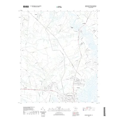
2020 Map of Georgetown North
USGS Topo · Published 2020About this map
Georgetown sits at the confluence of the Black River and the Great Pee Dee River, serving as the urban anchor for this low-lying coastal landscape. The surrounding area is defined by its complex hydrology, where the Intracoastal Waterway cuts through tidal marshes and dense swamps like Patsley Swamp and Horse Swamp. The map reveals a transition from the historic town center to outlying settlements such as Kensington and Rosemont, alongside more rural pockets like Oatland and Ramsey Grove.
Find a feature on this map
134 named features on this map. Tap any name to fly to it.
Don’t see what you’re looking for? This feature index may not catch every label — zoom into the map to look around manually.
Map Details
Editions of this 2020 Georgetown North Map
This is the sole edition of this map. No revisions or reprints were ever made.
Other maps of this area
1942 · North Island
USGS Topo · 1:24,000
1942 · Waverly Mills
USGS Topo · 1:24,000
1943 · Olin
USGS Topo · 1:31,680
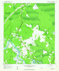
1943 · Carvers Bay
USGS Topo · 1:24,000
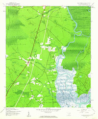
1943 · Plantersville
USGS Topo · 1:24,000
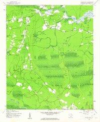
1943 · Kilsock Bay
USGS Topo · 1:24,000
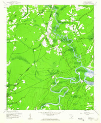
1943 · Rhems
USGS Topo · 1:24,000
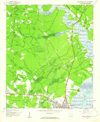
1943 · Georgetown North
USGS Topo · 1:24,000
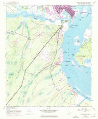
1943 · Georgetown South
USGS Topo · 1:24,000
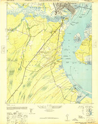
1947 · Georgetown South
USGS Topo · 1:24,000