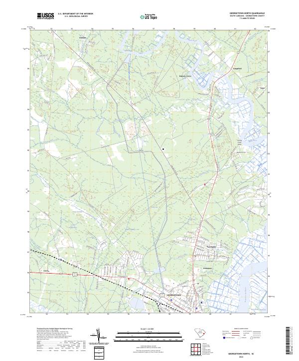
2024 Map of Georgetown North
USGS Topo · Published 2024About this map
Georgetown sits at the confluence of several major South Carolina waterways, where the Great Pee Dee River meets the Intracoastal Waterway. This recent survey reveals a landscape deeply defined by its riparian history, with traditional settlements like Rosemont and Kensington positioned along the banks of the Black River. The presence of Caring Cross Ferry and Weehaw Plantation Dr points to the area's long-standing connection to river-based commerce and the legacy of coastal estates.
Find a feature on this map
133 named features on this map. Tap any name to fly to it.
Don’t see what you’re looking for? This feature index may not catch every label — zoom into the map to look around manually.
Map Details
Editions of this 2024 Georgetown North Map
This is the sole edition of this map. No revisions or reprints were ever made.
Other maps of this area

1942 · North Island
USGS Topo · 1:24,000

1942 · Waverly Mills
USGS Topo · 1:24,000

1943 · Olin
USGS Topo · 1:31,680

1943 · Carvers Bay
USGS Topo · 1:24,000

1943 · Plantersville
USGS Topo · 1:24,000

1943 · Kilsock Bay
USGS Topo · 1:24,000

1943 · Rhems
USGS Topo · 1:24,000

1943 · Georgetown North
USGS Topo · 1:24,000

1943 · Georgetown South
USGS Topo · 1:24,000

1947 · Georgetown South
USGS Topo · 1:24,000