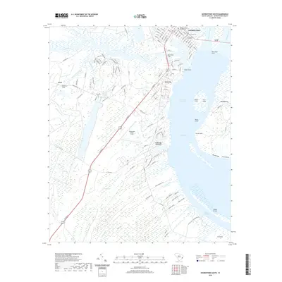
2020 Map of Georgetown South
USGS Topo · Published 2020About this map
Georgetown and its sprawling coastal environs are documented in this 2020 record of the Lowcountry, where the Sampit River meets the expansive Winyah Bay. The map highlights the town's colonial and maritime legacy, featuring the Prince George Winyah Cem and other historic burial sites like the Jewish Cem and Baptist Cem. To the south and west, the landscape is defined by vast wetlands and tidal passages, including Pennyroyal Creek, Turkey Cr, and the Intracoastal Waterway.
Find a feature on this map
119 named features on this map. Tap any name to fly to it.
Don’t see what you’re looking for? This feature index may not catch every label — zoom into the map to look around manually.
Map Details
Editions of this 2020 Georgetown South Map
This is the sole edition of this map. No revisions or reprints were ever made.
Other maps of this area

1942 · Santee Point
USGS Topo · 1:24,000

1942 · North Island
USGS Topo · 1:24,000

1942 · Waverly Mills
USGS Topo · 1:24,000

1943 · Olin
USGS Topo · 1:31,680

1943 · Kilsock Bay
USGS Topo · 1:24,000

1943 · Santee
USGS Topo · 1:24,000

1943 · Georgetown North
USGS Topo · 1:24,000

1943 · Minim Island
USGS Topo · 1:24,000

1943 · Georgetown South
USGS Topo · 1:24,000

1947 · Georgetown South
USGS Topo · 1:24,000
Featured Places
- Georgetown, SC
- Steele Town, Georgetown
- White Hall Estates, SC
- Belle Isle Estates, SC
- Belle Isle Gardens, SC