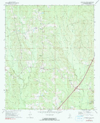
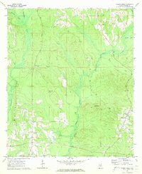
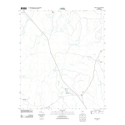
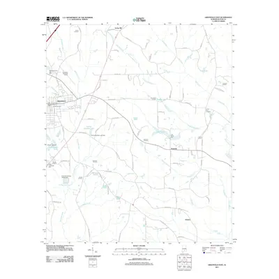
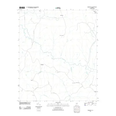
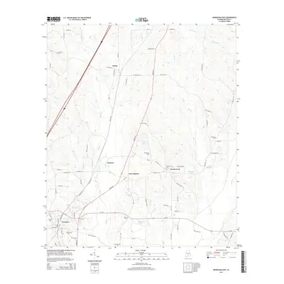
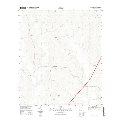
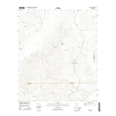
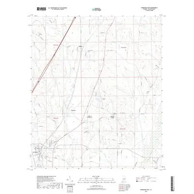
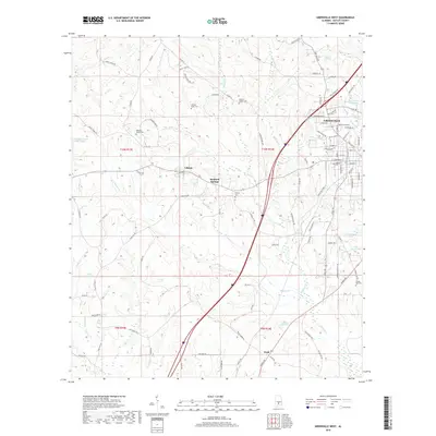
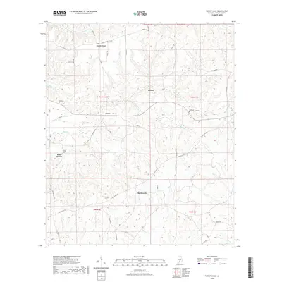
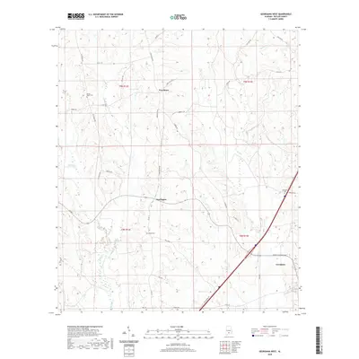
1971 Map of Georgiana West
USGS Topo · Published 1991About this map
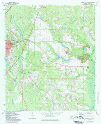
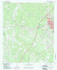
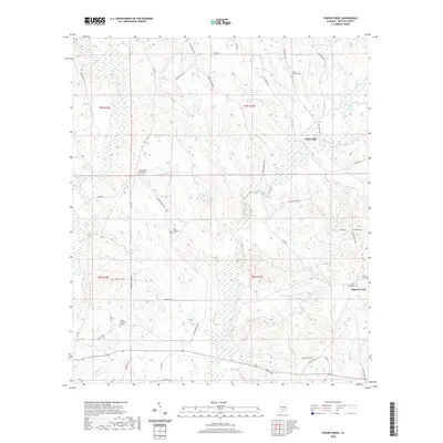
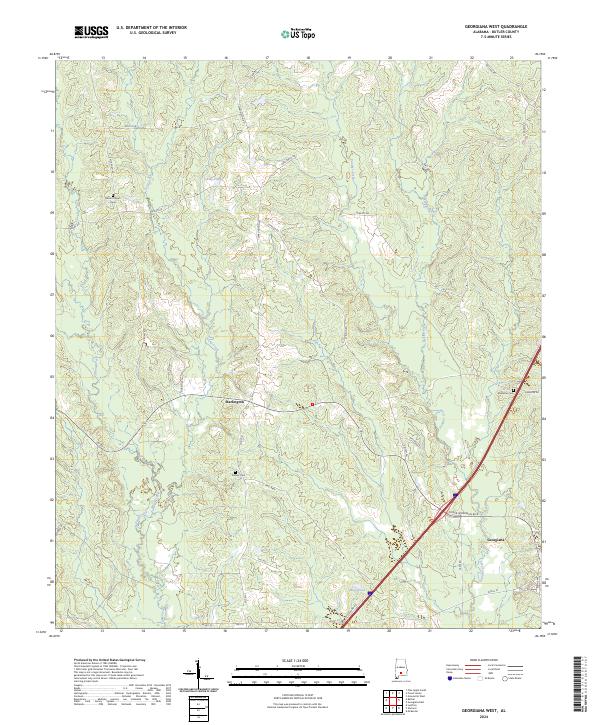
Georgiana and the surrounding Butler County countryside are captured here during a period of steady growth and agricultural stability. The landscape is defined by a dense network of watercourses, including Panther Creek and Oaklog Creek, which carve through the terrain and influence the placement of early homesteads and transport routes. Evidence of established rural communities is seen in the clustering of local landmarks such as Mt Pisgah Ch and Providence, indicating a well-distributed population connected by light-duty roads and field lines.
Find a feature on this map
17 named features on this map. Tap any name to fly to it.
Don’t see what you’re looking for? This feature index may not catch every label — zoom into the map to look around manually.
Map Details
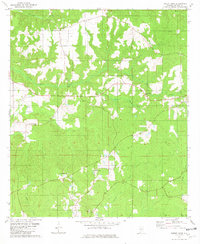
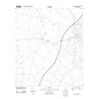
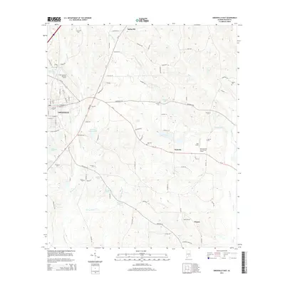
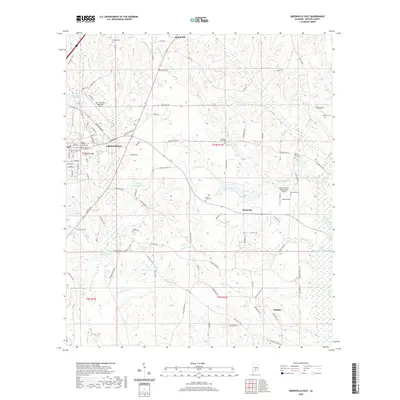
Editions of this 1971 Georgiana West Map
This is the sole edition of this map. No revisions or reprints were ever made.
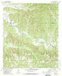
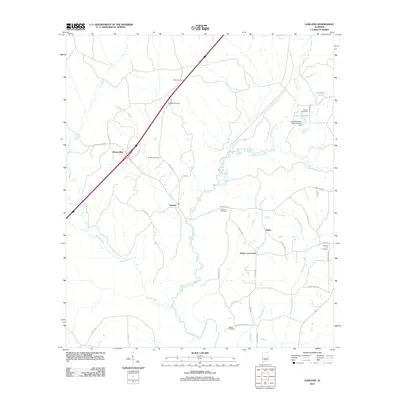
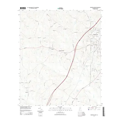
Historical Maps of Georgiana Through Time
61 maps found
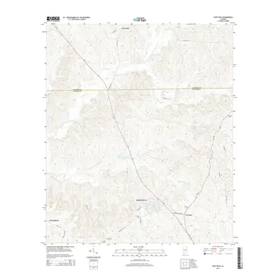
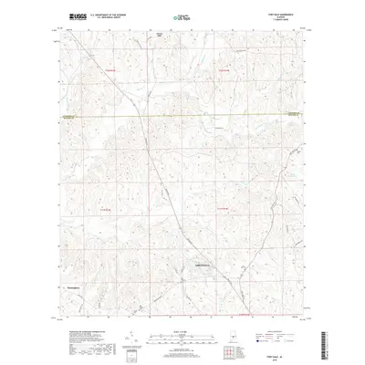
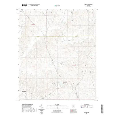
1971 Fort Dale
Butler County, AL
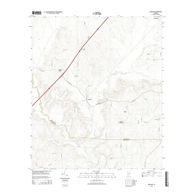
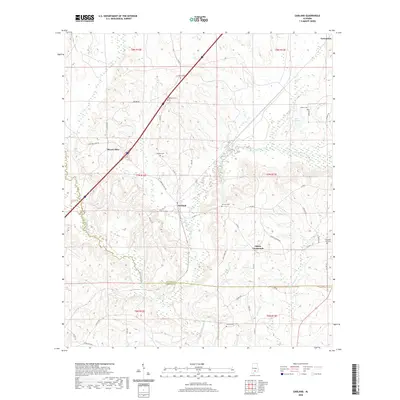
1971 Garland
Butler County, AL
1971 Georgiana East
Butler County, AL
1971 Georgiana West
Butler County, AL
1971 Greenville East
Butler County, AL
1971 Greenville West
Butler County, AL
1971 Industry
Butler County, AL
1971 Mc Kenzie
Butler County, AL
1971 Pigeon Creek
Butler County, AL
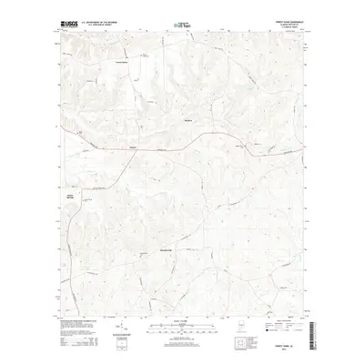
1981 Forest Home
Butler County, AL
1981 Ridgeville
Butler County, AL
2011 Forest Home
Butler County, AL
2011 Fort Dale
Butler County, AL
2011 Garland
Butler County, AL
2011 Georgiana East
Butler County, AL
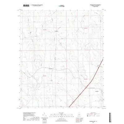
2011 Georgiana West
Butler County, AL
2011 Greenville East
Butler County, AL
2011 Greenville West
Butler County, AL
2011 Industry
Butler County, AL
2011 Pigeon Creek
Butler County, AL
2011 Ridgeville
Butler County, AL
2014 Forest Home
Butler County, AL
2014 Fort Dale
Butler County, AL
2014 Garland
Butler County, AL
2014 Georgiana East
Butler County, AL
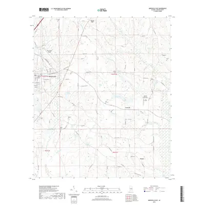
2014 Georgiana West
Butler County, AL
2014 Greenville East
Butler County, AL
2014 Greenville West
Butler County, AL
2014 Industry
Butler County, AL
2014 Pigeon Creek
Butler County, AL
2014 Ridgeville
Butler County, AL
2018 Forest Home
Butler County, AL
2018 Fort Dale
Butler County, AL

2018 Garland
Butler County, AL
2018 Georgiana East
Butler County, AL
2018 Georgiana West
Butler County, AL
2018 Greenville East
Butler County, AL
2018 Greenville West
Butler County, AL
2018 Industry
Butler County, AL
2018 Pigeon Creek
Butler County, AL
2018 Ridgeville
Butler County, AL
2020 Forest Home
Butler County, AL
2020 Fort Dale
Butler County, AL
2020 Garland
Butler County, AL
2020 Georgiana East
Butler County, AL
2020 Georgiana West
Butler County, AL
2020 Greenville East
Butler County, AL
2020 Greenville West
Butler County, AL
2020 Industry
Butler County, AL
2020 Pigeon Creek
Butler County, AL
2020 Ridgeville
Butler County, AL
2024 Forest Home
Butler County, AL
2024 Fort Dale
Butler County, AL
2024 Garland
Butler County, AL
2024 Georgiana East
Butler County, AL
2024 Georgiana West
Butler County, AL
2024 Greenville East
Butler County, AL
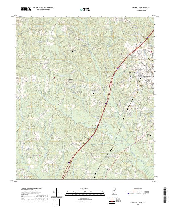
2024 Greenville West
Butler County, AL
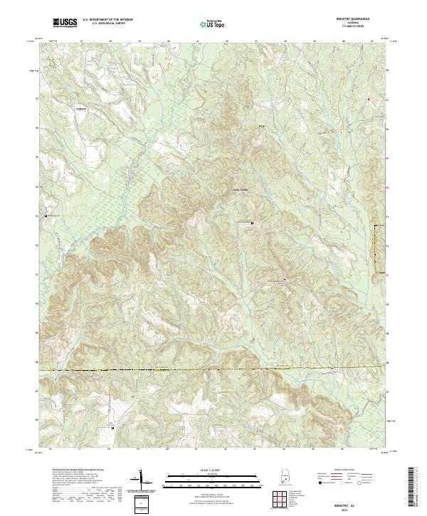
2024 Industry
Butler County, AL
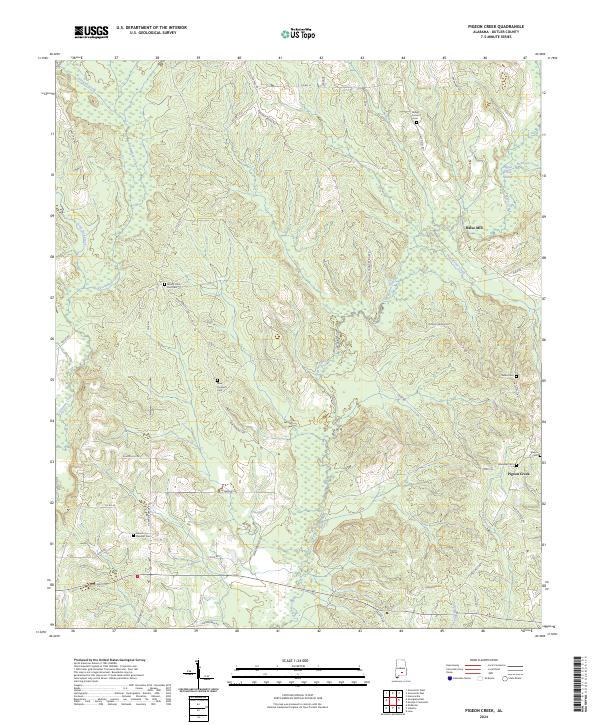
2024 Pigeon Creek
Butler County, AL
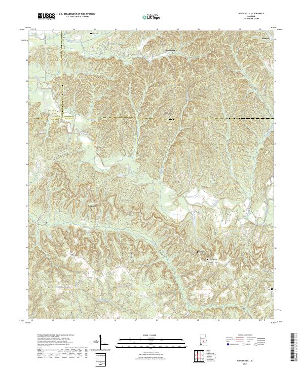
2024 Ridgeville
Butler County, AL