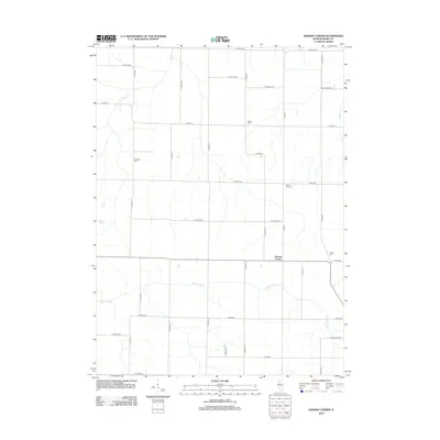
2012 Map of German Corner
USGS Topo · Published 2012About this map
German Corner serves as the central settlement of this agricultural landscape in Henry County, where the meandering course of the Edwards River cuts across the southern township. The territory is defined by a rigorous section-line road grid, including routes like Co HWY-14 and Co HWY-6, which connect scattered homesteads and local landmarks. Several small burial grounds, such as Liberty Cem and Greenlee Cem, provide valuable points of reference for genealogists tracing early families in this rural Illinois prairie. To the north, Spring Cr and Mud Cr drain the fields toward larger watersheds. This 2011-era snapshot reflects the modern continuity of a traditional farming region, where even small lanes like Possum Trot Rd preserve the local vernacular of the county's history.
Find a feature on this map
37 named features on this map. Tap any name to fly to it.
Don’t see what you’re looking for? This feature index may not catch every label — zoom into the map to look around manually.
Map Details
Editions of this 2012 German Corner Map
This is the sole edition of this map. No revisions or reprints were ever made.
Other maps of this area

1929 · Annawan
USGS Topo · 1:62,500

1931 · Galva
USGS Topo · 1:48,000

1932 · Annawan
USGS Topo · 1:62,500

1934 · Geneseo
USGS Topo · 1:62,500

1940 · Galva
USGS Topo · 1:62,500

1944 · Galva
USGS Topo · 1:62,500

1944 · Kewanee
USGS Topo · 1:62,500

1953 · Nekoma
USGS Topo · 1:24,000

1953 · German Corner
USGS Topo · 1:24,000
1953 · Geneseo
USGS Topo · 1:24,000