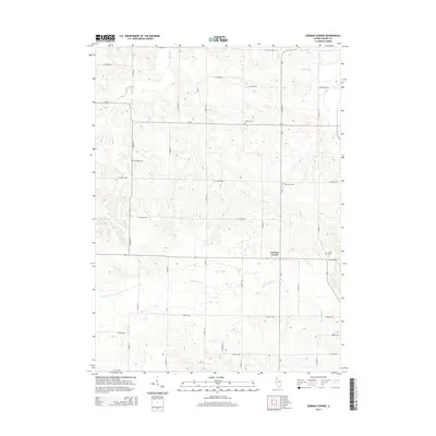
2015 Map of German Corner
USGS Topo · Published 2015About this map
German Corner serves as the namesake for this rural Henry County landscape, defined by the winding course of the Edwards River as it cuts through the agricultural heartland of Illinois. The map documents a meticulously gridded system of rural routes, including CR-5, CR-14, and Co Highway 28, which link scattered farmsteads and historic burial sites. For those tracing family roots in the region, the placement of Liberty Cem, Greenlee Cem, Mount Zion Cem, and Cosner Cem provides essential spatial context for nineteenth and twentieth-century settlements. To the north and east, the drainage of Spring Cr and Mud Creek further shapes the terrain, illustrating the persistent relationship between the local hydrology and the long-established farming divisions of the prairie.
Find a feature on this map
33 named features on this map. Tap any name to fly to it.
Don’t see what you’re looking for? This feature index may not catch every label — zoom into the map to look around manually.
Map Details
Editions of this 2015 German Corner Map
This is the sole edition of this map. No revisions or reprints were ever made.
Other maps of this area
1929 · Annawan
USGS Topo · 1:62,500
1931 · Galva
USGS Topo · 1:48,000
1932 · Annawan
USGS Topo · 1:62,500
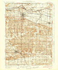
1934 · Geneseo
USGS Topo · 1:62,500
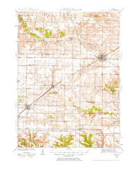
1940 · Galva
USGS Topo · 1:62,500
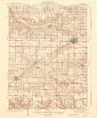
1944 · Galva
USGS Topo · 1:62,500
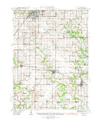
1944 · Kewanee
USGS Topo · 1:62,500
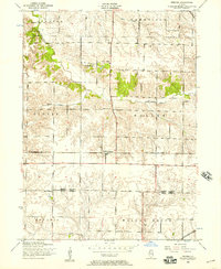
1953 · Nekoma
USGS Topo · 1:24,000
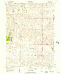
1953 · German Corner
USGS Topo · 1:24,000
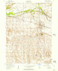
1953 · Geneseo
USGS Topo · 1:24,000