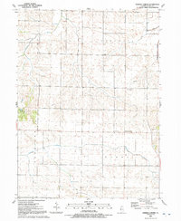
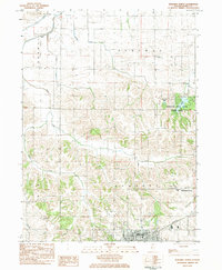
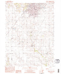
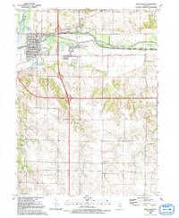
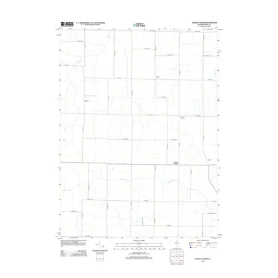
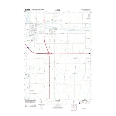
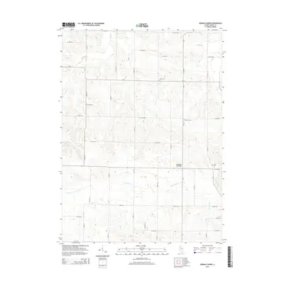
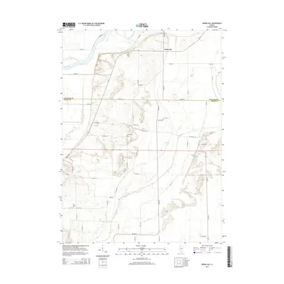
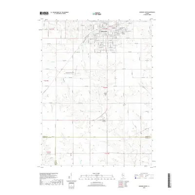
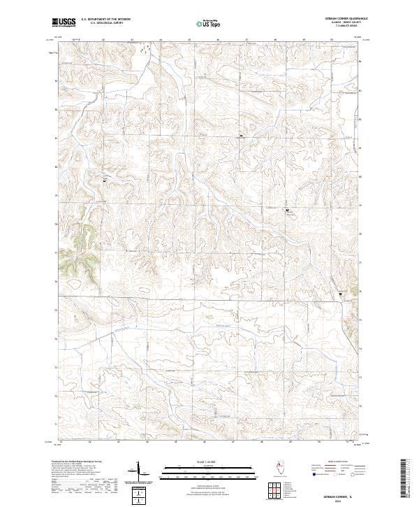
1991 Map of German Corner
USGS Topo · Published 1992About this map
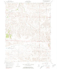
The Edwards River and its meandering tributaries, including Spring Creek and Mud Creek, define the agricultural character of this region in the early 1990s. The landscape is predominantly divided into the townships of Munson, Cornwall, Cambridge, and Burns, where small rural crossroads and isolated landmarks serve as the primary focal points. At the intersection of these local hubs is German Corner, a namesake settlement that anchors the surrounding farming community.
Find a feature on this map
19 named features on this map. Tap any name to fly to it.
Don’t see what you’re looking for? This feature index may not catch every label — zoom into the map to look around manually.
Map Details
Editions of this 1991 German Corner Map
This is the sole edition of this map. No revisions or reprints were ever made.
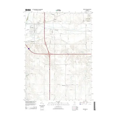
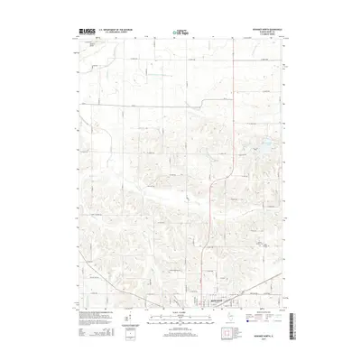
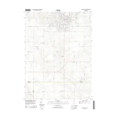
Historical Maps of German Corner Through Time
32 maps found
1953 German Corner
Henry County, IL
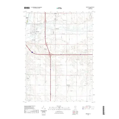
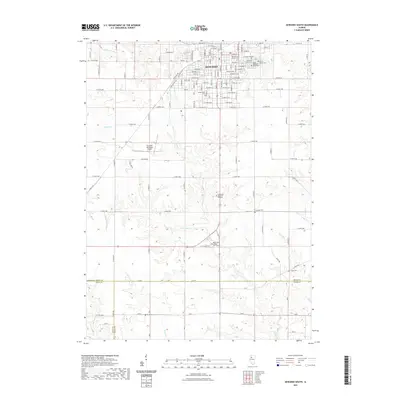
1953 Green Rock
Henry County, IL
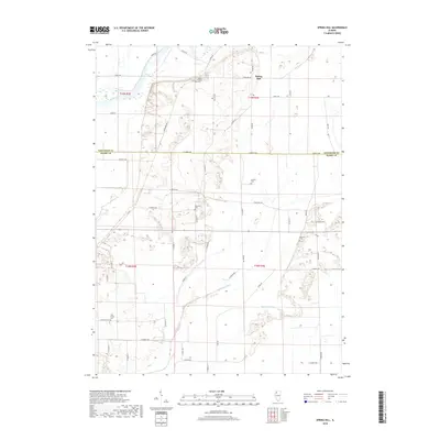
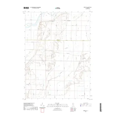
1982 Spring Hill
Henry County, IL
1983 Kewanee North
Henry County, IL
1983 Kewanee South
Henry County, IL
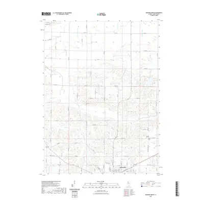
1991 German Corner
Henry County, IL
1992 Green Rock
Henry County, IL
2012 German Corner
Henry County, IL
2012 Green Rock
Henry County, IL
2012 Kewanee North
Henry County, IL
2012 Kewanee South
Henry County, IL
2012 Spring Hill
Henry County, IL
2015 German Corner
Henry County, IL
2015 Green Rock
Henry County, IL
2015 Kewanee North
Henry County, IL
2015 Kewanee South
Henry County, IL
2015 Spring Hill
Henry County, IL
2018 German Corner
Henry County, IL
2018 Green Rock
Henry County, IL
2018 Kewanee North
Henry County, IL
2018 Kewanee South
Henry County, IL
2018 Spring Hill
Henry County, IL
2021 German Corner
Henry County, IL
2021 Green Rock
Henry County, IL
2021 Kewanee North
Henry County, IL
2021 Kewanee South
Henry County, IL
2021 Spring Hill
Henry County, IL
2024 German Corner
Henry County, IL
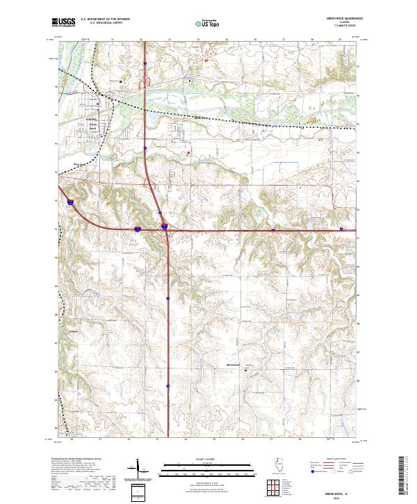
2024 Green Rock
Henry County, IL
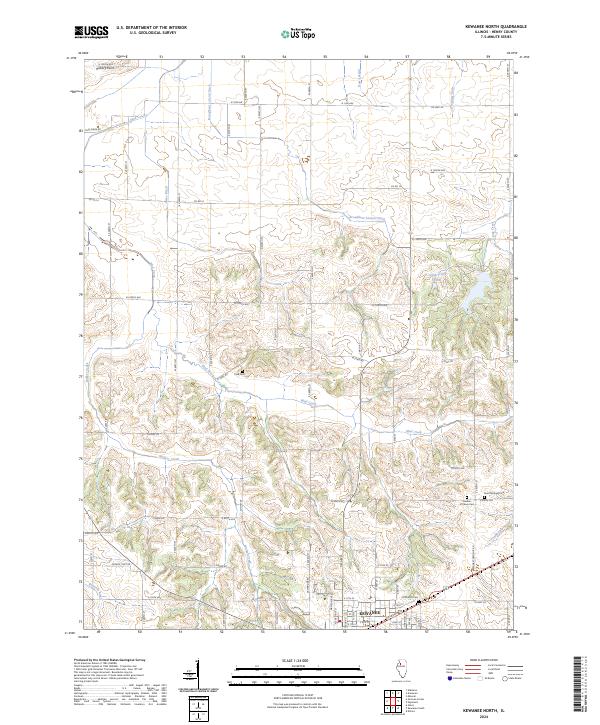
2024 Kewanee North
Henry County, IL
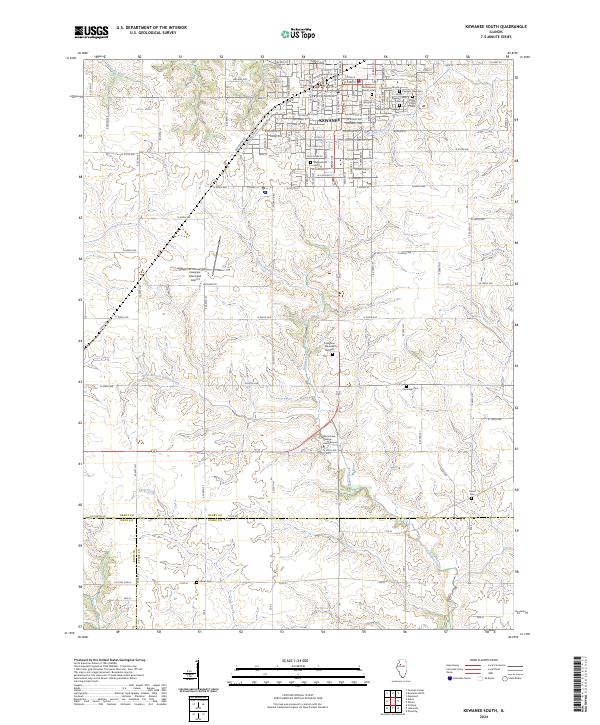
2024 Kewanee South
Henry County, IL
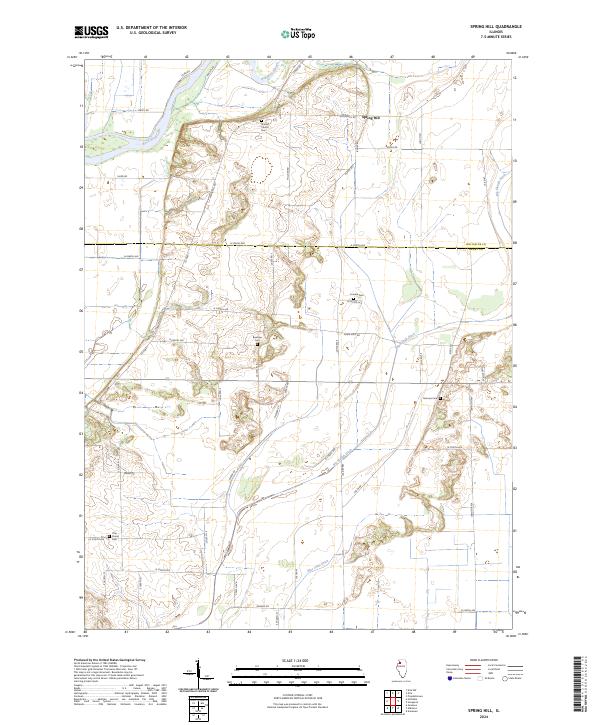
2024 Spring Hill
Henry County, IL