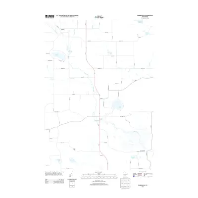
2013 Map of Germania
USGS Topo · Published 2013About this map
The Mecan River winds through this central Wisconsin landscape, anchoring a series of small settlements including Dakota, Budsin, and Germania. This 2013 survey illustrates the rural character of Marquette County, where agricultural land is punctuated by a high density of glacial lakes and flowages. Major water bodies such as Tuttle Lake, Crystal Lake, and Comstock Lake define the hydrology of the area, while the Alan Wilcox Flowage 2 indicates managed water resources in the northern reaches.
Find a feature on this map
56 named features on this map. Tap any name to fly to it.
Don’t see what you’re looking for? This feature index may not catch every label — zoom into the map to look around manually.
Map Details
Editions of this 2013 Germania Map
This is the sole edition of this map. No revisions or reprints were ever made.
Other maps of this area

1915 · Neshkoro
USGS Topo · 1:48,000

1918 · Neshkoro
USGS Topo · 1:62,500

1955 · Green Bay
USGS Topo · 1:250,000

1957 · Madison
USGS Topo · 1:250,000

1959 · Wautoma
USGS Topo · 1:48,000

1960 · Madison
USGS Topo · 1:250,000

1961 · Redgranite
USGS Topo · 1:62,500

1961 · Montello
USGS Topo · 1:62,500

1961 · Spring Lake
USGS Topo · 1:24,000

1963 · Neshkoro
USGS Topo · 1:62,500