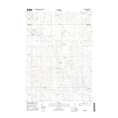
2016 Map of Germania
USGS Topo · Published 2016About this map
Germania and Budsin anchor this central Wisconsin landscape, where the Mecan River and its tributaries wind through a mosaic of wetlands and glacial lakes. The 2016 survey documents a rural corridor defined by historical burial grounds, including Saint Johns Lutheran Cem and Emmanuel Evangelical Crystal Lake Cem, which serve as vital markers for local genealogical research. The terrain is punctuated by modest elevations like Mt Pisgah and Stone Hill, overlooking a series of water bodies such as Tuttle Lake, Crystal Lake, and Lake of the Woods. This mapping reveals a structured network of county roads and avenues that connect the small settlements of Marquette and Waushara Counties, illustrating a persistent agricultural and residential pattern that has remained consistent into the 21st century.
Find a feature on this map
78 named features on this map. Tap any name to fly to it.
Don’t see what you’re looking for? This feature index may not catch every label — zoom into the map to look around manually.
Map Details
Editions of this 2016 Germania Map
This is the sole edition of this map. No revisions or reprints were ever made.
Other maps of this area

1915 · Neshkoro
USGS Topo · 1:48,000

1918 · Neshkoro
USGS Topo · 1:62,500

1955 · Green Bay
USGS Topo · 1:250,000

1957 · Madison
USGS Topo · 1:250,000

1959 · Wautoma
USGS Topo · 1:48,000

1960 · Madison
USGS Topo · 1:250,000

1961 · Redgranite
USGS Topo · 1:62,500

1961 · Montello
USGS Topo · 1:62,500

1961 · Spring Lake
USGS Topo · 1:24,000

1963 · Neshkoro
USGS Topo · 1:62,500