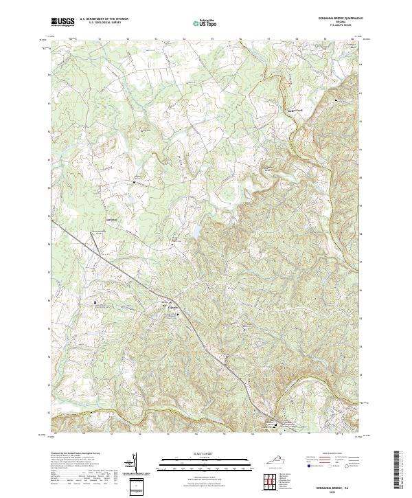
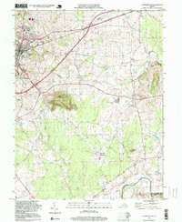
2022 Map of Germanna Bridge
USGS Topo · Published 2022About this map
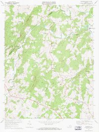
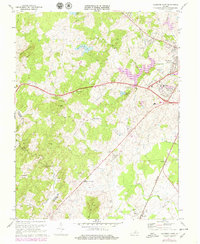
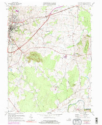
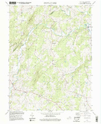
Kellys Ford and the meandering Rappahannock River anchor the northern reaches of this map, where the border of Culpeper and Fauquier Counties follows the waterway. The terrain is characterized by numerous small drainages such as Mountain Run and Hoopers Run that feed into the major river systems. In the southern portion, the Rapidan River provides a natural boundary with Orange County, near the site of the Germanna Community College Locust Grove Campus.
Find a feature on this map
94 named features on this map. Tap any name to fly to it.
Don’t see what you’re looking for? This feature index may not catch every label — zoom into the map to look around manually.
Map Details
Editions of this 2022 Germanna Bridge Map
This is the sole edition of this map. No revisions or reprints were ever made.
Historical Maps of Carrico Through Time
13 maps found
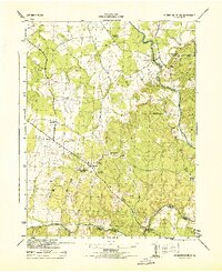
1943 Germanna Bridge
Culpeper County, VA
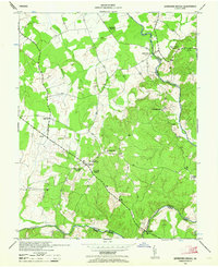
1944 Germanna Bridge
Culpeper County, VA
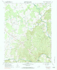
1968 Germanna Bridge
Culpeper County, VA
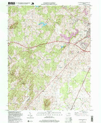
1971 Castleton
Culpeper County, VA
1971 Culpeper West
Culpeper County, VA
1973 Culpeper East
Culpeper County, VA
1994 Castleton
Culpeper County, VA
1994 Culpeper East
Culpeper County, VA
1997 Culpeper West
Culpeper County, VA
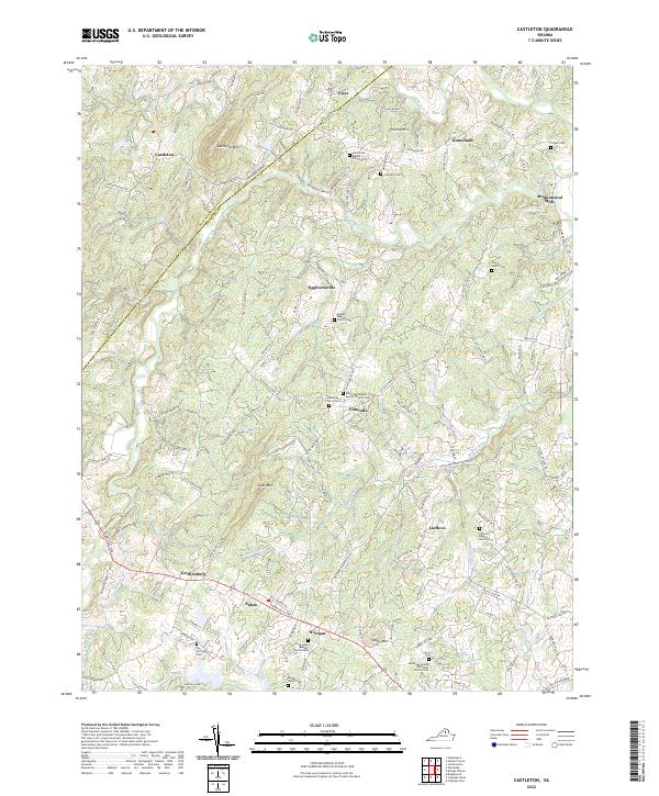
2022 Castleton
Culpeper County, VA
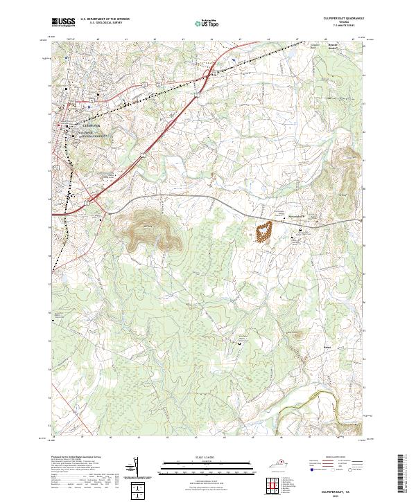
2022 Culpeper East
Culpeper County, VA
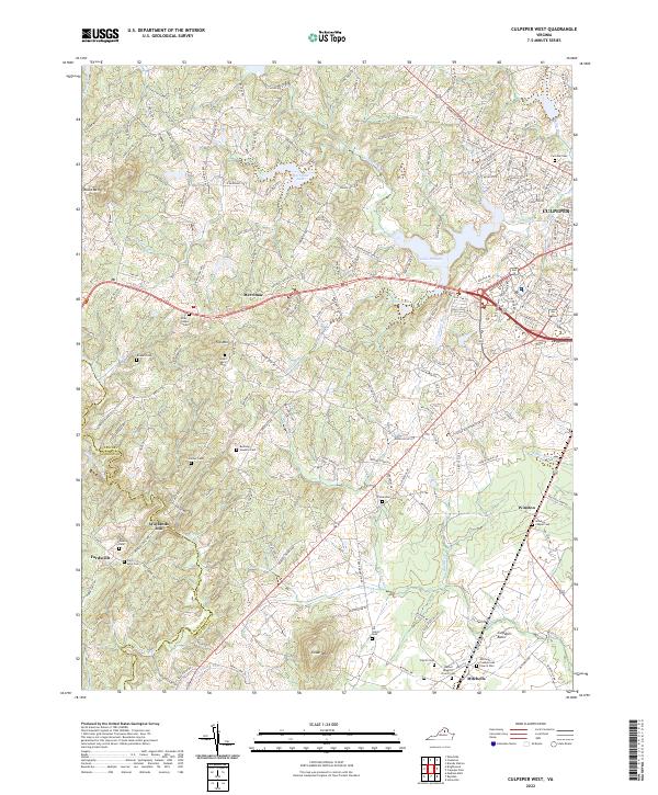
2022 Culpeper West
Culpeper County, VA
2022 Germanna Bridge
Culpeper County, VA