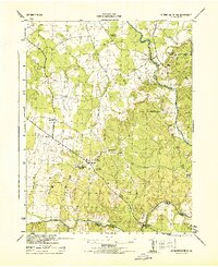
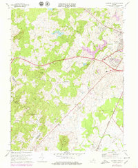
1944 Map of Germanna Bridge
USGS Topo · Published 1944About this map
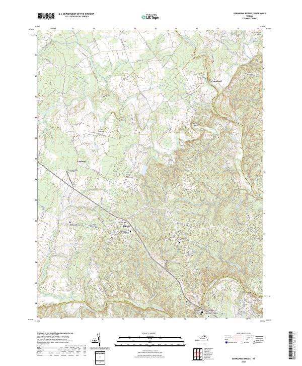
The Rappahannock River and Rapidan River define the boundary-rich landscape of this Piedmont region during the mid-1940s. Centered around the rural crossroads of Lignum, the area is characterized by a network of small family-owned landmarks and vital local institutions including the South Lignum School and Hopewell Church. The confluence of these major rivers, alongside smaller tributaries like Mountain Run and Flat Run, highlights the importance of historic crossings such as Kellys Ford and the namesake Germanna Bridge.
Find a feature on this map
18 named features on this map. Tap any name to fly to it.
Don’t see what you’re looking for? This feature index may not catch every label — zoom into the map to look around manually.
Map Details
Editions of this 1944 Germanna Bridge Map
This is the sole edition of this map. No revisions or reprints were ever made.
Historical Maps of Carrico Through Time
13 maps found
1943 Germanna Bridge
Culpeper County, VA
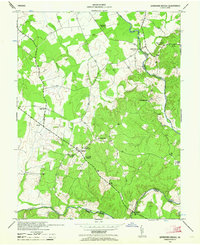
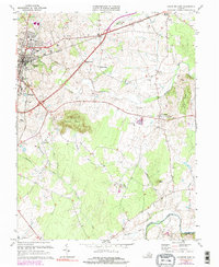
1944 Germanna Bridge
Culpeper County, VA
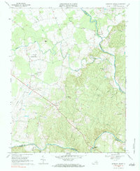
1968 Germanna Bridge
Culpeper County, VA
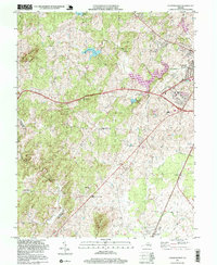
1971 Castleton
Culpeper County, VA
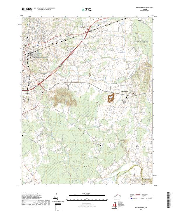
1971 Culpeper West
Culpeper County, VA
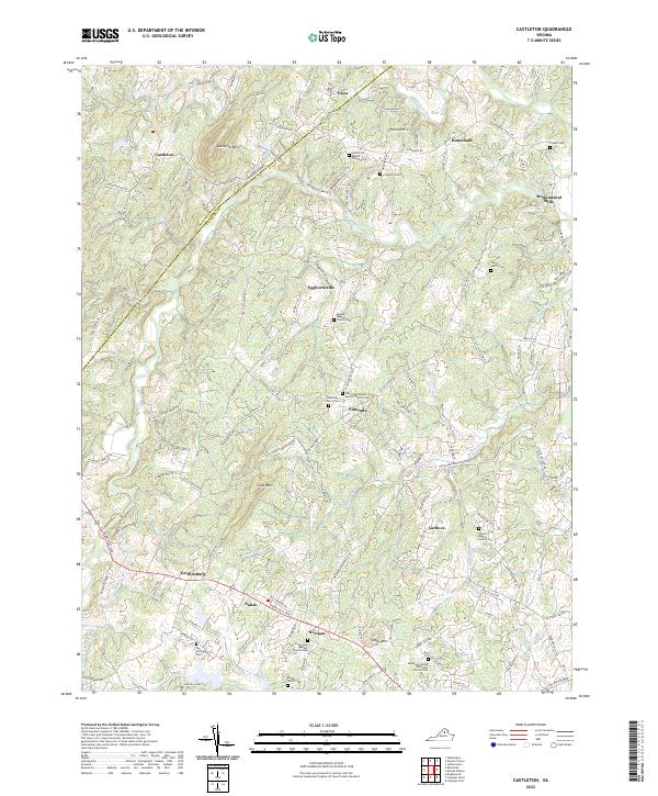
1973 Culpeper East
Culpeper County, VA
1994 Castleton
Culpeper County, VA
1994 Culpeper East
Culpeper County, VA
1997 Culpeper West
Culpeper County, VA
2022 Castleton
Culpeper County, VA
2022 Culpeper East
Culpeper County, VA
2022 Culpeper West
Culpeper County, VA
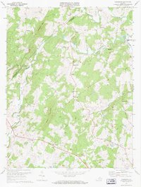
2022 Germanna Bridge
Culpeper County, VA