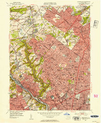
1952 Map of Germantown
USGS Topo · Published 1954About this map
Wissahickon Creek carves a deep green valley through this mid-century landscape, separating the dense residential blocks of Germantown and Mt Airy from the steep terrain of Roxborough. The map documents a highly developed suburban and urban corridor just after the war, defined by the competing lines of the Reading RR and Pennsylvania RR. These rail lines fostered established communities like Jenkintown, Glenside, and Chestnut Hill, where local life centered around a dense network of institutions including Beaver College and the Philadelphia Cricket Club.
Find a feature on this map
220 named features on this map. Tap any name to fly to it.
Don’t see what you’re looking for? This feature index may not catch every label — zoom into the map to look around manually.
Map Details
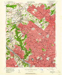
Editions of this 1952 Germantown Map
2 editions found
Other maps of this area

1891 · Philadelphia
USGS Topo · 1:62,500

1893 · Germantown
USGS Topo · 1:62,500

1894 · Chester
USGS Topo · 1:62,500

1894 · Philadelphia
USGS Topo · 1:62,500

1894 · Norristown
USGS Topo · 1:62,500

1894 · Germantown
USGS Topo · 1:62,500

1895 · Norristown
USGS Topo · 1:62,500

1896 · Germantown
USGS Topo · 1:62,500

1896 · Philadelphia
USGS Topo · 1:62,500

1896 · Norristown
USGS Topo · 1:62,500
Featured Places
- Philadelphia, PA
- Abington Township, PA
- Cheltenham Township, PA
- Whitemarsh Township, PA
- Glenside, Cheltenham Township