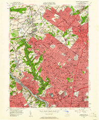
1952 Map of Germantown
USGS Topo · Published 1961About this map
Wissahickon Creek carves a deep green corridor through this detailed mid-century survey of Northwest Philadelphia and its immediate Montgomery County suburbs. The landscape reflects an era of institutional expansion and established residential enclaves, with the Morris Arboretum and Fairmount Park providing significant open space amidst the dense street grids of Germantown and Chestnut Hill. The presence of Temple University units, Beaver College, and the Westminster Theological Seminary underscores the area's role as an educational and religious hub.
Find a feature on this map
218 named features on this map. Tap any name to fly to it.
Don’t see what you’re looking for? This feature index may not catch every label — zoom into the map to look around manually.
Map Details
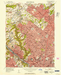
Editions of this 1952 Germantown Map
2 editions found
Other maps of this area

1891 · Philadelphia
USGS Topo · 1:62,500

1893 · Germantown
USGS Topo · 1:62,500

1894 · Chester
USGS Topo · 1:62,500

1894 · Philadelphia
USGS Topo · 1:62,500

1894 · Norristown
USGS Topo · 1:62,500

1894 · Germantown
USGS Topo · 1:62,500

1895 · Norristown
USGS Topo · 1:62,500

1896 · Germantown
USGS Topo · 1:62,500

1896 · Philadelphia
USGS Topo · 1:62,500

1896 · Norristown
USGS Topo · 1:62,500
Featured Places
- Philadelphia, PA
- Abington Township, PA
- Cheltenham Township, PA
- Whitemarsh Township, PA
- Glenside, Cheltenham Township