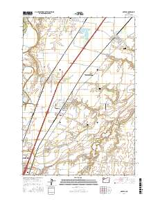
2017 Map of Gervais
USGS Topo · Published 2017About this map
French Prairie and Howell Prairie define the agricultural character of this Willamette Valley landscape north of Salem. The settlement of Gervais serves as a central hub, surrounded by a high density of rural burial sites including Saint Louis Cem, Sacred Heart Cem, and the uniquely named Skunkville Cem. The geography is shaped by the remnant bed of Lake Labish and the Lake Labish Ditch, a testament to the area's complex drainage history and its transformation into fertile farmland. Aviation and industry are represented by the Harchenko Industrial Airport and Hollin Airport, while smaller communities like Brooks, Saint Louis, and Labish Village are connected by a precise grid of rural roads. To the south, the map reaches the northern edge of Keizer and the grounds of Chemawa, including the Chemawa Cem.
Find a feature on this map
108 named features on this map. Tap any name to fly to it.
Don’t see what you’re looking for? This feature index may not catch every label — zoom into the map to look around manually.
Map Details
Editions of this 2017 Gervais Map
This is the sole edition of this map. No revisions or reprints were ever made.
Other maps of this area
1915 · Eola
USGS Topo · 1:31,680
1917 · Salem
USGS Topo · 1:62,500
1923 · Mount Angel
USGS Topo · 1:62,500
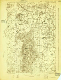
1924 · Mc Minnville
USGS Topo · 1:48,000
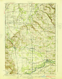
1925 · Stayton
USGS Topo · 1:62,500
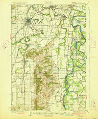
1926 · Mc Minnville
USGS Topo · 1:62,500
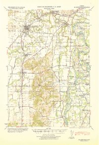
1940 · McMinnville
USGS Topo · 1:62,500
1940 · Salem
USGS Topo · 1:62,500
1940 · Mount Angel
USGS Topo · 1:62,500
1941 · Stayton
USGS Topo · 1:62,500