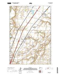
2020 Map of Gervais
USGS Topo · Published 2020About this map
French Prairie and Howell Prairie define the productive agricultural landscape of Marion County in this contemporary survey. The map centers on the corridor between the northern reaches of Salem and Keizer up toward Gervais. This region is characterized by a high density of named family and community cemeteries, including Skunkville Cem and Pioneers Cem, which serve as vital markers for local genealogical research.
Find a feature on this map
88 named features on this map. Tap any name to fly to it.
Don’t see what you’re looking for? This feature index may not catch every label — zoom into the map to look around manually.
Map Details
Editions of this 2020 Gervais Map
This is the sole edition of this map. No revisions or reprints were ever made.
Other maps of this area
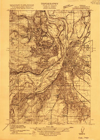
1915 · Eola
USGS Topo · 1:31,680
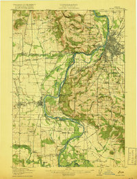
1917 · Salem
USGS Topo · 1:62,500
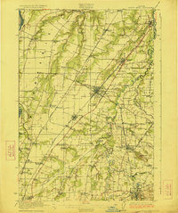
1923 · Mount Angel
USGS Topo · 1:62,500
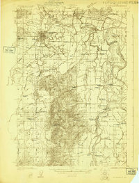
1924 · Mc Minnville
USGS Topo · 1:48,000
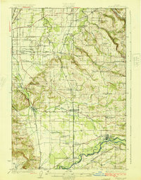
1925 · Stayton
USGS Topo · 1:62,500
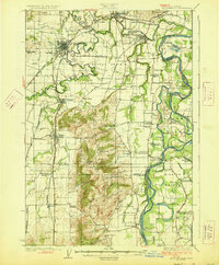
1926 · Mc Minnville
USGS Topo · 1:62,500
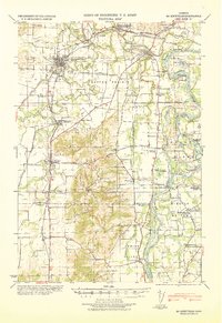
1940 · McMinnville
USGS Topo · 1:62,500
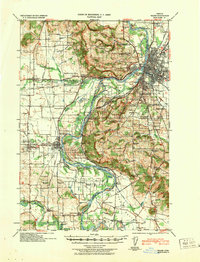
1940 · Salem
USGS Topo · 1:62,500
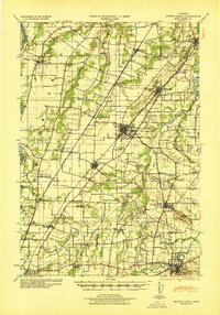
1940 · Mount Angel
USGS Topo · 1:62,500
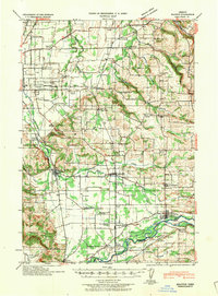
1941 · Stayton
USGS Topo · 1:62,500