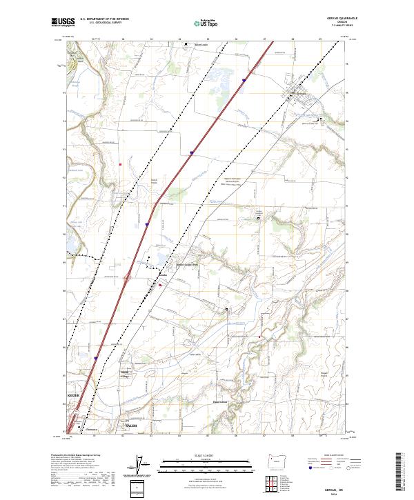
2024 Map of Gervais
USGS Topo · Published 2024About this map
French Prairie and Howell Prairie dominate this agricultural landscape in the Willamette Valley, where a intricate network of drainage ditches and creeks supports long-standing rural communities. The settlement of Gervais serves as a central hub, flanked by several significant burial grounds including the Gervais Masonic Pioneer Cem and Sacred Heart Cem. To the south, the remnants of Lake Labish are visible through a complex system of waterways like the Lake Labish Ditch and Jones Ditch, reflecting the region's history of land reclamation for farming.
Find a feature on this map
79 named features on this map. Tap any name to fly to it.
Don’t see what you’re looking for? This feature index may not catch every label — zoom into the map to look around manually.
Map Details
Editions of this 2024 Gervais Map
This is the sole edition of this map. No revisions or reprints were ever made.
Other maps of this area

1915 · Eola
USGS Topo · 1:31,680

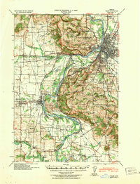
1917 · Salem
USGS Topo · 1:62,500

1923 · Mount Angel
USGS Topo · 1:62,500

1924 · Mc Minnville
USGS Topo · 1:48,000

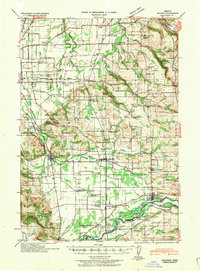
1925 · Stayton
USGS Topo · 1:62,500

1926 · Mc Minnville
USGS Topo · 1:62,500

1940 · McMinnville
USGS Topo · 1:62,500
1940 · Salem
USGS Topo · 1:62,500

1940 · Mount Angel
USGS Topo · 1:62,500
1941 · Stayton
USGS Topo · 1:62,500