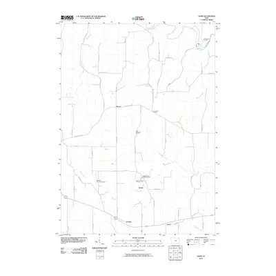
2010 Map of Giard
USGS Topo · Published 2010About this map
Yellow River winds through the northern portion of this Northeast Iowa landscape, a region defined by steep creek valleys and high agricultural ridges. Small, established settlements like Froelich, Giard, and Ion anchor the local geography, connected by a network of gravel and paved roads. Genealogists will find significant local history at the Railroad Employee Cemetery near Beulah and the Saint Wenceslaus Cemetery, which reflect the community's ancestral foundations and labor history. The area's limestone topography is notable at Spook Cave and Campground, a unique underground feature situated near the headwaters of Bloody Run. Other land uses range from the Monona Municipal Airport in the southwest to the quiet banks of Sny Magill Creek, illustrating a landscape that balances aviation and recreation with traditional Iowa farming.
Find a feature on this map
49 named features on this map. Tap any name to fly to it.
Don’t see what you’re looking for? This feature index may not catch every label — zoom into the map to look around manually.
Map Details
Editions of this 2010 Giard Map
This is the sole edition of this map. No revisions or reprints were ever made.
Other maps of this area

1902 · Elkader
USGS Topo · 1:125,000

1903 · Waukon
USGS Topo · 1:125,000

1929 · Prairie Du Chien
USGS Topo · 1:62,500

1932 · Prairie Du Chien
USGS Topo · 1:62,500

1958 · La Crosse
USGS Topo · 1:250,000

1959 · Dubuque
USGS Topo · 1:250,000

1961 · Dubuque
USGS Topo · 1:250,000

1961 · La Crosse
USGS Topo · 1:250,000

1962 · Dubuque
USGS Topo · 1:250,000

1962 · Clayton
USGS Topo · 1:24,000