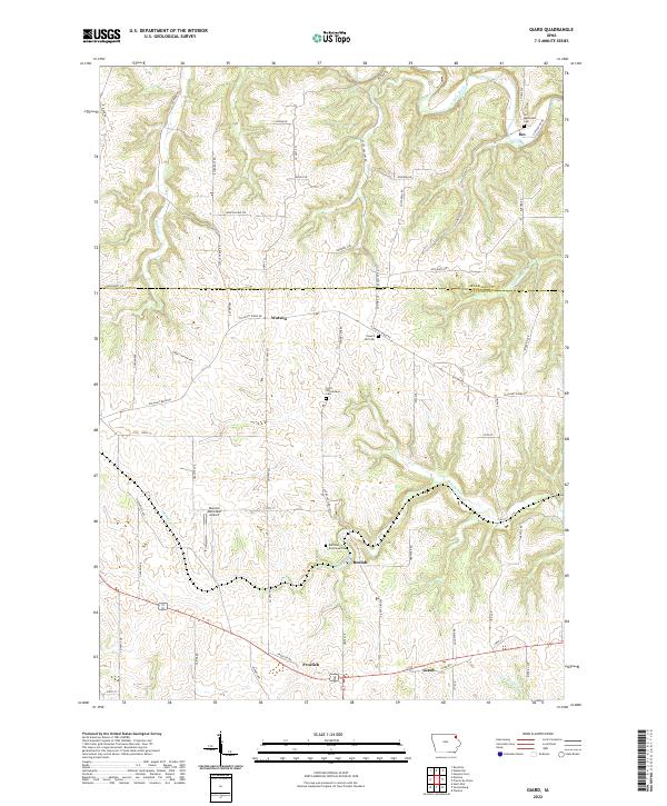
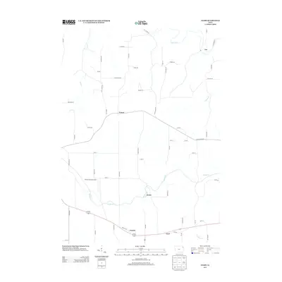
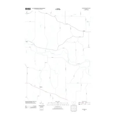
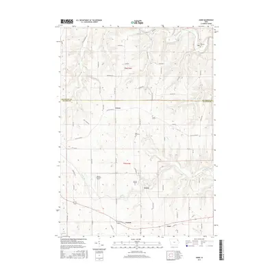
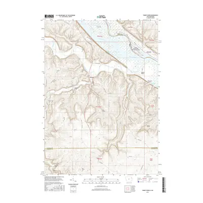
2022 Map of Giard
USGS Topo · Published 2022About this map
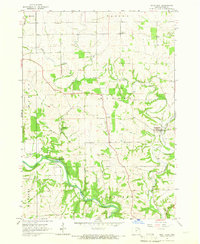
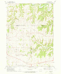
Froelich and Giard anchor the southern reaches of this Clayton County landscape, where the terrain is deeply etched by the drainage of Bloody Run and Sny Magill Cr. The map reveals a rural pattern of development defined by family-named cemeteries and small settlements, such as Ion in the north near the Yellow River and Watson situated along the ridge. Of particular interest to local historians and genealogists are the dedicated burial sites scattered across the townships, including the Railroad Employee Cem near Beulah and the Saint Wenceslaus Cem, which reflect the ethnic and industrial heritage of the region. The infrastructure is characterized by a network of winding roads like Spook Cave Rd and Suttle Creek Rd that navigate the varied elevations, while the Monona Municipal Airport provides a modern navigational landmark amidst the traditional farmsteads and creek valleys.
Find a feature on this map
67 named features on this map. Tap any name to fly to it.
Don’t see what you’re looking for? This feature index may not catch every label — zoom into the map to look around manually.
Map Details
Editions of this 2022 Giard Map
This is the sole edition of this map. No revisions or reprints were ever made.
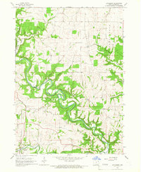
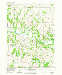
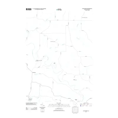
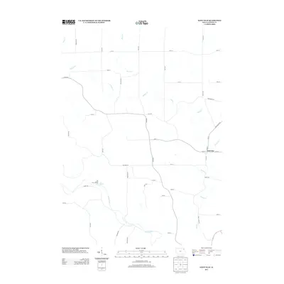
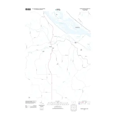
Historical Maps of Froelich Through Time
30 maps found
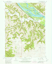
1957 Turkey River
Clayton County, IA
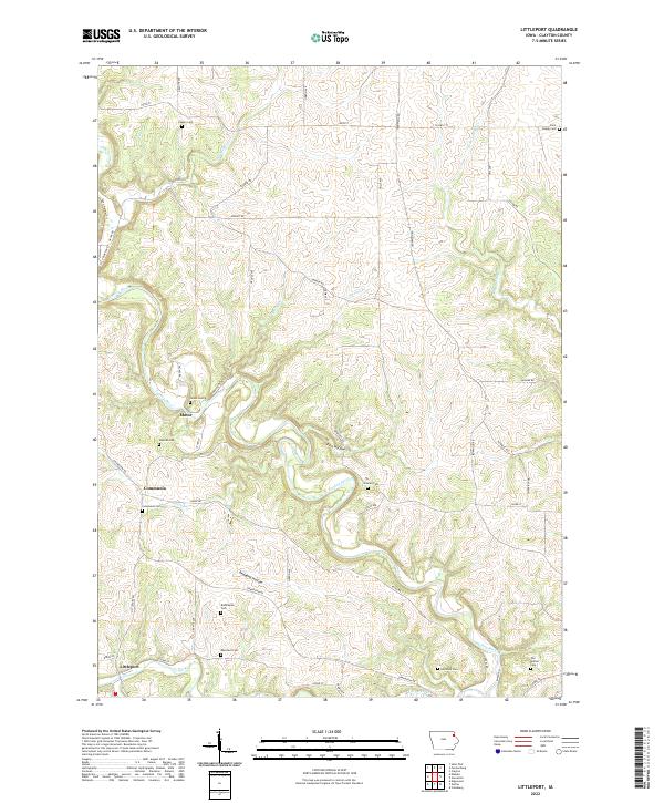
1964 Littleport
Clayton County, IA
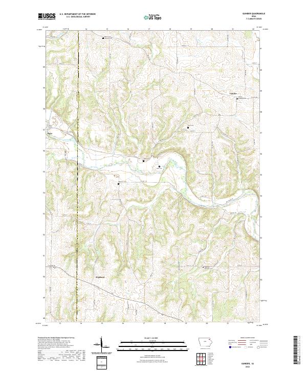
1965 Gunder
Clayton County, IA
1965 Saint Olaf
Clayton County, IA
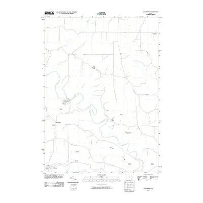
1971 Giard
Clayton County, IA
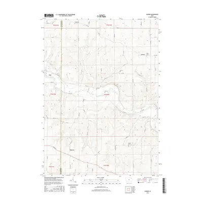
2010 Giard
Clayton County, IA
2010 Gunder
Clayton County, IA
2010 Littleport
Clayton County, IA
2010 Saint Olaf
Clayton County, IA
2010 Turkey River
Clayton County, IA
2013 Giard
Clayton County, IA
2013 Gunder
Clayton County, IA
2013 Littleport
Clayton County, IA
2013 Saint Olaf
Clayton County, IA
2013 Turkey River
Clayton County, IA
2015 Giard
Clayton County, IA
2015 Gunder
Clayton County, IA
2015 Littleport
Clayton County, IA
2015 Saint Olaf
Clayton County, IA
2015 Turkey River
Clayton County, IA
2018 Giard
Clayton County, IA
2018 Gunder
Clayton County, IA
2018 Littleport
Clayton County, IA
2018 Saint Olaf
Clayton County, IA
2018 Turkey River
Clayton County, IA
2022 Giard
Clayton County, IA
2022 Gunder
Clayton County, IA
2022 Littleport
Clayton County, IA
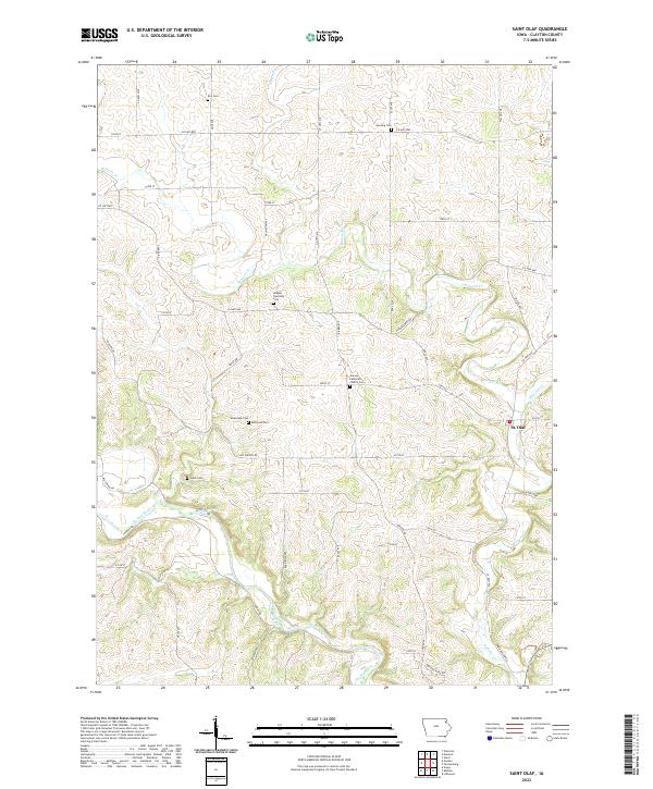
2022 Saint Olaf
Clayton County, IA
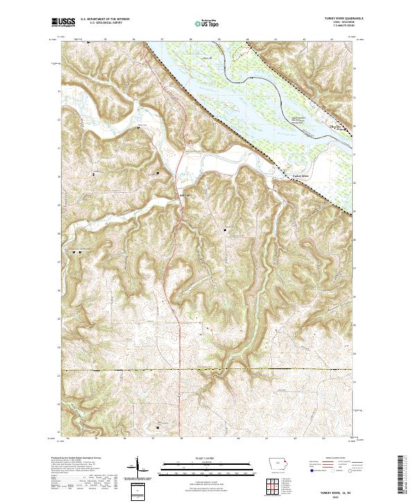
2022 Turkey River
Clayton County, IA