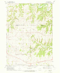
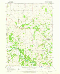
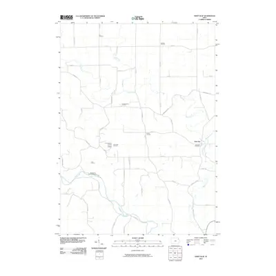
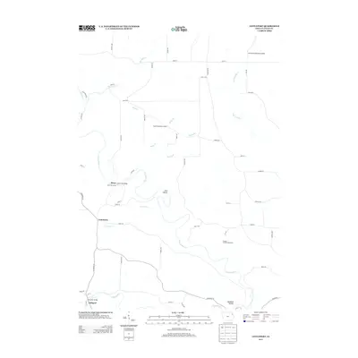
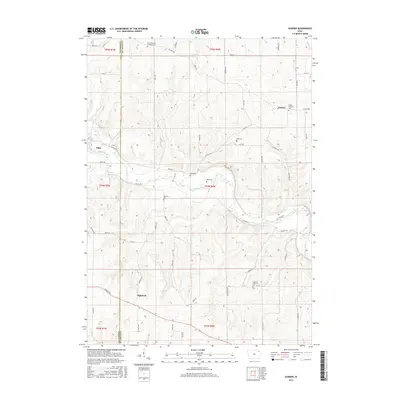
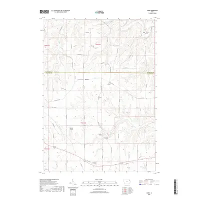
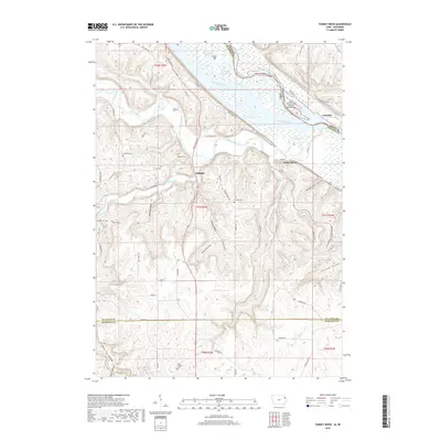
1971 Map of Giard
USGS Topo · Published 1973About this map
The Yellow River winds through the northern reaches of this landscape, carving through the border of Allamakee and Clayton counties. This early 1970s view reveals a rural mosaic of small farming hamlets and deep-cut drainage systems like Bloody Run and Suttle Creek. The Chicago Milwaukee St Paul and Pacific railroad serves as a primary corridor, connecting the small settlements of Froelich, Beulah, and Giard.
Find a feature on this map
24 named features on this map. Tap any name to fly to it.
Don’t see what you’re looking for? This feature index may not catch every label — zoom into the map to look around manually.
Map Details
Editions of this 1971 Giard Map
This is the sole edition of this map. No revisions or reprints were ever made.
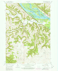
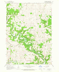
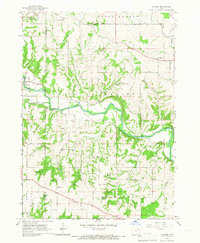
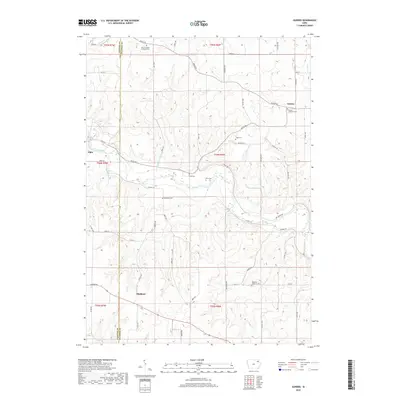
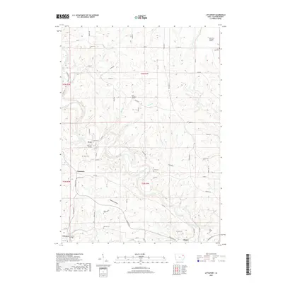
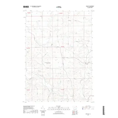
Historical Maps of Ion Through Time
30 maps found
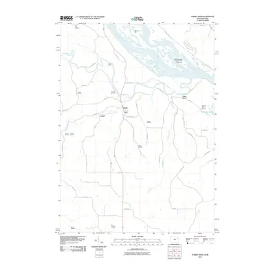
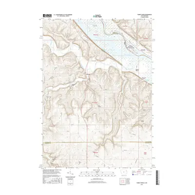
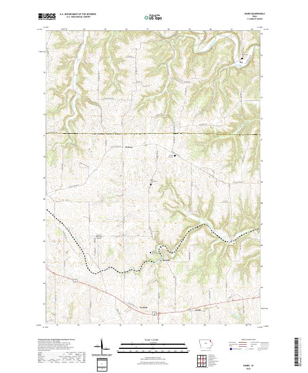
1957 Turkey River
Clayton County, IA
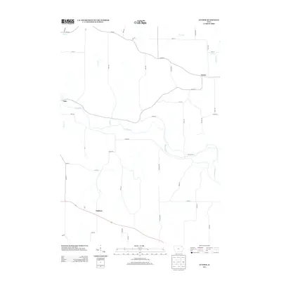
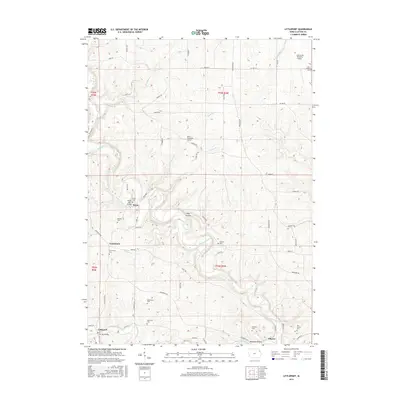
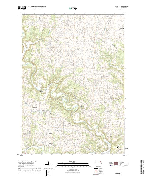
1964 Littleport
Clayton County, IA
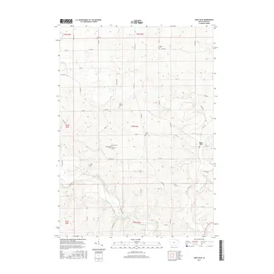
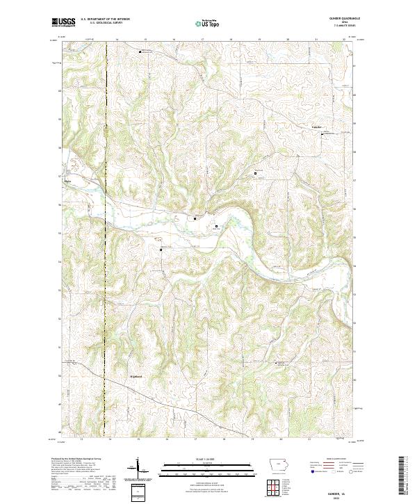
1965 Gunder
Clayton County, IA
1965 Saint Olaf
Clayton County, IA
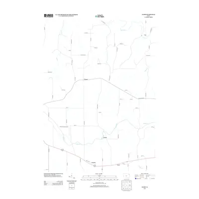
1971 Giard
Clayton County, IA
2010 Giard
Clayton County, IA
2010 Gunder
Clayton County, IA
2010 Littleport
Clayton County, IA
2010 Saint Olaf
Clayton County, IA
2010 Turkey River
Clayton County, IA
2013 Giard
Clayton County, IA
2013 Gunder
Clayton County, IA
2013 Littleport
Clayton County, IA
2013 Saint Olaf
Clayton County, IA
2013 Turkey River
Clayton County, IA
2015 Giard
Clayton County, IA
2015 Gunder
Clayton County, IA
2015 Littleport
Clayton County, IA
2015 Saint Olaf
Clayton County, IA
2015 Turkey River
Clayton County, IA
2018 Giard
Clayton County, IA
2018 Gunder
Clayton County, IA
2018 Littleport
Clayton County, IA
2018 Saint Olaf
Clayton County, IA
2018 Turkey River
Clayton County, IA
2022 Giard
Clayton County, IA
2022 Gunder
Clayton County, IA
2022 Littleport
Clayton County, IA
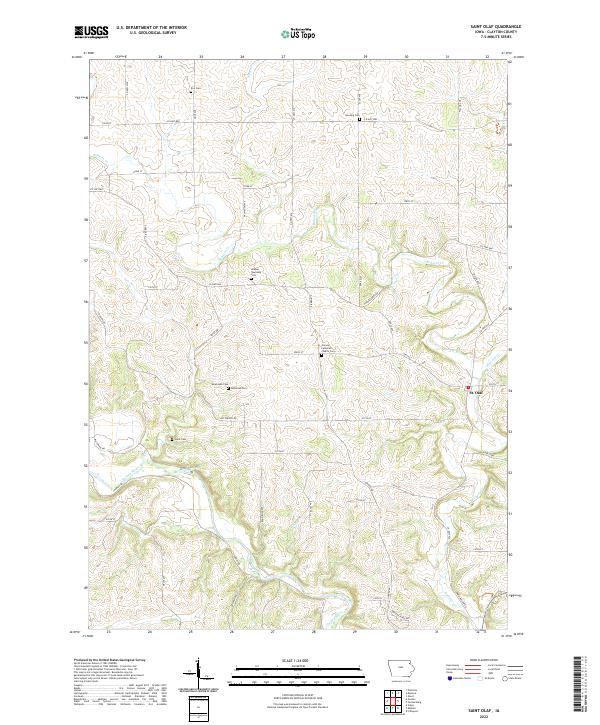
2022 Saint Olaf
Clayton County, IA
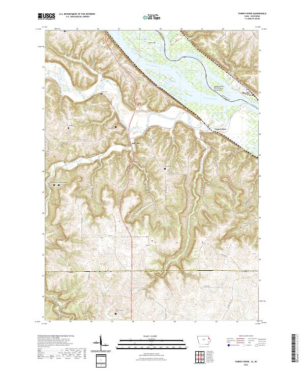
2022 Turkey River
Clayton County, IA