2022 Map of Gifford
USGS Topo · Published 2022About this map
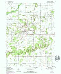
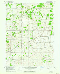
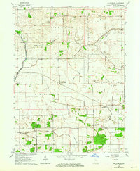
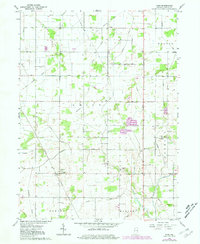
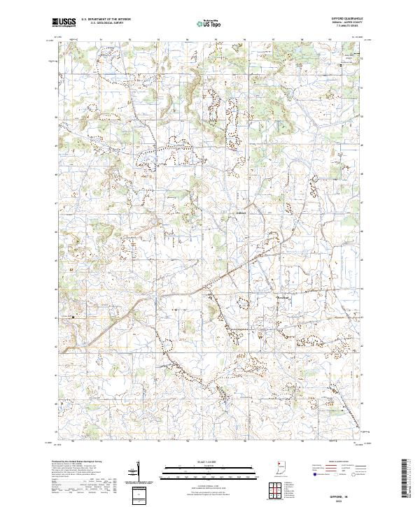
Gifford and Newland anchor this corner of Jasper County, defining a landscape engineered for agricultural production through an intricate network of waterways. The terrain is crisscrossed by features like Oliver Ditch, Callahan Ditch, and Grant Ditch, illustrating the intensive drainage efforts required to manage the regional hydrology. These man-made channels, including the Stallbaum Hershman Ditch and Big Slough Lateral, reveal the systematic transformation of the local prairie into productive farmland.
Find a feature on this map
56 named features on this map. Tap any name to fly to it.
Don’t see what you’re looking for? This feature index may not catch every label — zoom into the map to look around manually.
Map Details
Editions of this 2022 Gifford Map
This is the sole edition of this map. No revisions or reprints were ever made.
Historical Maps of Indiana Through Time
8 maps found