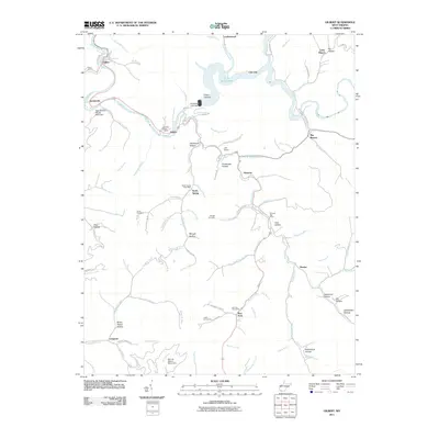
2011 Map of Gilbert
USGS Topo · Published 2011About this map
The Guyandotte River carves through this corner of Mingo County, where the settlement of Gilbert sits at the confluence of Harrus Branch and Stafford Branch. The landscape is defined by the significant footprint of the R. D. Bailey Lake and its associated R D Bailey Lake Dam, which transformed the local geography. Numerous hollows like Argus Hollow and Canebrake Hollow underscore the steep terrain that has historically isolated and shaped these mountain communities.
Find a feature on this map
96 named features on this map. Tap any name to fly to it.
Don’t see what you’re looking for? This feature index may not catch every label — zoom into the map to look around manually.
Map Details
Editions of this 2011 Gilbert Map
This is the sole edition of this map. No revisions or reprints were ever made.
Other maps of this area

1891 · Tazewell
USGS Topo · 1:125,000

1891 · Oceana
USGS Topo · 1:125,000

1893 · Oceana
USGS Topo · 1:125,000

1895 · Tazewell
USGS Topo · 1:125,000

1897 · Tazewell
USGS Topo · 1:125,000

1898 · Oceana
USGS Topo · 1:125,000

1909 · Gilbert
USGS Topo · 1:48,000

1910 · Pineville
USGS Topo · 1:48,000

1910 · Iaeger
USGS Topo · 1:48,000

1912 · Gilbert
USGS Topo · 1:62,500