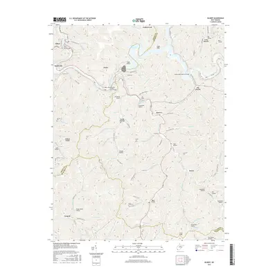
2016 Map of Gilbert
USGS Topo · Published 2016About this map
The Guyandotte River winds through the borderlands of Mingo and Wyoming Counties, anchoring a landscape shaped by narrow hollows and river crossings. This survey captures the region as it appeared in the mid-2010s, centered on the town of Gilbert and the expansive R. D. Bailey Lake to the east. The map highlights several notable infrastructure points, including the Rodney Staton Memorial Bridge and the Randy Ellis and Billy Lester Bridge, reflecting the essential nature of river access in this mountainous terrain. For family historians, the presence of Oak Log Cem, Lester Cemeteries, and Morgan Cem provides specific points for genealogical research. Settlements like Hanover, Justice, and North Spring are connected by a network of state and county roads, such as Co HWY 52, that follow the natural contours of features like Little Huff Cr and Muzzle Cr.
Find a feature on this map
121 named features on this map. Tap any name to fly to it.
Don’t see what you’re looking for? This feature index may not catch every label — zoom into the map to look around manually.
Map Details
Editions of this 2016 Gilbert Map
This is the sole edition of this map. No revisions or reprints were ever made.
Other maps of this area

1891 · Tazewell
USGS Topo · 1:125,000

1891 · Oceana
USGS Topo · 1:125,000

1893 · Oceana
USGS Topo · 1:125,000

1895 · Tazewell
USGS Topo · 1:125,000

1897 · Tazewell
USGS Topo · 1:125,000

1898 · Oceana
USGS Topo · 1:125,000

1909 · Gilbert
USGS Topo · 1:48,000

1910 · Pineville
USGS Topo · 1:48,000

1910 · Iaeger
USGS Topo · 1:48,000

1912 · Gilbert
USGS Topo · 1:62,500