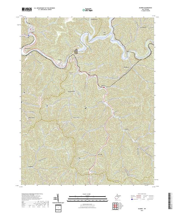
2023 Map of Gilbert
USGS Topo · Published 2023About this map
The Guyandotte River carves a deep path through the coal-rich mountains of West Virginia, joined here by the reservoir waters of R D Bailey Lake. This landscape is defined by its steep hollows and narrow valleys, where settlements like Gilbert, Justice, and North Spring follow the winding riverbanks and creek beds. The map reveals the intricate network of family landmarks and small communities that characterize the region, from Joe Point to the high reaches of Indian Ridge.
Find a feature on this map
116 named features on this map. Tap any name to fly to it.
Don’t see what you’re looking for? This feature index may not catch every label — zoom into the map to look around manually.
Map Details
Editions of this 2023 Gilbert Map
This is the sole edition of this map. No revisions or reprints were ever made.
Other maps of this area

1891 · Tazewell
USGS Topo · 1:125,000

1891 · Oceana
USGS Topo · 1:125,000

1893 · Oceana
USGS Topo · 1:125,000

1895 · Tazewell
USGS Topo · 1:125,000

1897 · Tazewell
USGS Topo · 1:125,000

1898 · Oceana
USGS Topo · 1:125,000

1909 · Gilbert
USGS Topo · 1:48,000

1910 · Pineville
USGS Topo · 1:48,000

1910 · Iaeger
USGS Topo · 1:48,000

1912 · Gilbert
USGS Topo · 1:62,500