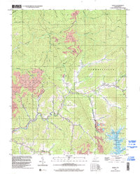
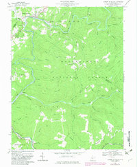
1996 Map of Gilboa
USGS Topo · Published 2002About this map
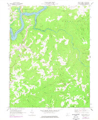
Peters Creek and Twentymile Creek carve a complex drainage system through this portion of Nicholas County, defining the settlement patterns of the late 20th century. Industrial activity is pervasive across the landscape, marked by numerous strip mines and a dense network of gas wells and oil wells that follow the ridgelines. Small crossroads communities like Gilboa, Zela, and Enon anchor the local road network, each preserving landmarks such as the Lone Star Lookout Tower and Duling Cem. The southern edge of the map transition into the Summersville Lake area, where the Summersville Lake State Wildlife Management Area borders the rising waters. Family-named sites like Pierson Chapel and McCutchin Cem provide valuable touchpoints for genealogists tracing Appalachian heritage in the Summersville and Grant districts.
Find a feature on this map
50 named features on this map. Tap any name to fly to it.
Don’t see what you’re looking for? This feature index may not catch every label — zoom into the map to look around manually.
Map Details
Editions of this 1996 Gilboa Map
This is the sole edition of this map. No revisions or reprints were ever made.
Historical Maps of Harriet Through Time
20 maps found

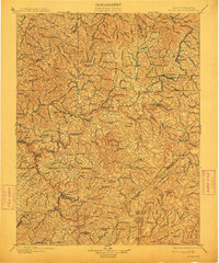
1889 Nicholas
Nicholas County, WV

1891 Nicholas
Nicholas County, WV
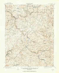
1901 Nicholas
Nicholas County, WV
1914 Winona
Nicholas County, WV
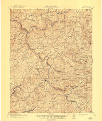
1916 Winona
Nicholas County, WV
1966 Camden On Gauley
Nicholas County, WV
1967 Gilboa
Nicholas County, WV
1967 Lockwood
Nicholas County, WV
1967 Widen
Nicholas County, WV
1969 Mount Nebo
Nicholas County, WV
1969 Summersville Dam
Nicholas County, WV
1995 Camden on Gauley
Nicholas County, WV
1996 Gilboa
Nicholas County, WV
1996 Lockwood
Nicholas County, WV
2023 Camden On Gauley
Nicholas County, WV
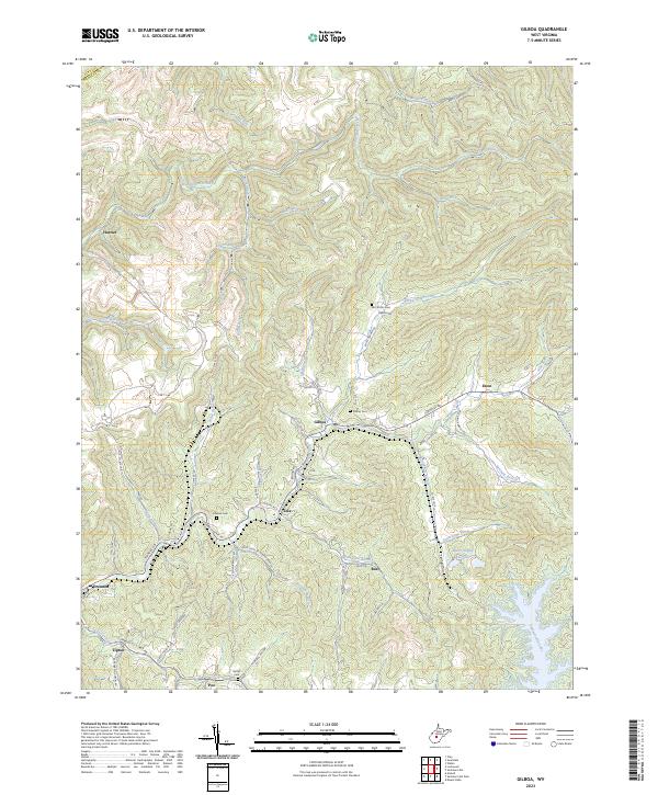
2023 Gilboa
Nicholas County, WV
2023 Lockwood
Nicholas County, WV
2023 Mount Nebo
Nicholas County, WV
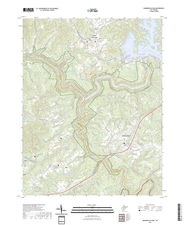
2023 Summersville Dam
Nicholas County, WV
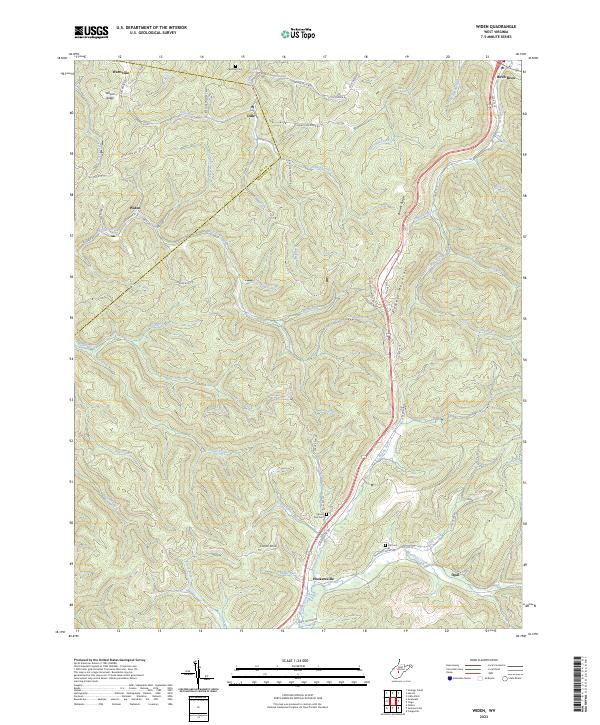
2023 Widen
Nicholas County, WV