
1910 Map of Clay
USGS Topo · Published 1910About this map
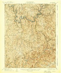
The Elk River carves a winding path through the center of this 1908 survey, defining the industrial and social life of the central West Virginia hills. The river corridor serves as the primary artery for transportation, hosting the Coke and Coke RR which connects settlements like Elkhurst, Dundon, and the county seat at Clay. These narrow valleys supported a network of remote post offices and rural schools, such as Triplett School and Rosetta School, often situated at the confluence of rugged hollows and mountain forks.
Find a feature on this map
133 named features on this map. Tap any name to fly to it.
Don’t see what you’re looking for? This feature index may not catch every label — zoom into the map to look around manually.
Map Details
Editions of this 1910 Clay Map
3 editions found
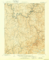
Other maps of this area

1889 · Nicholas
USGS Topo · 1:125,000

1891 · Nicholas
USGS Topo · 1:125,000

1893 · Sutton
USGS Topo · 1:125,000

1897 · Kanawha Falls
USGS Topo · 1:125,000

1900 · Kanawha Falls
USGS Topo · 1:125,000

1901 · Nicholas
USGS Topo · 1:125,000

1901 · Kanawha Falls
USGS Topo · 1:125,000

1906 · Otter
USGS Topo · 1:62,500

1906 · Walton
USGS Topo · 1:62,500

1907 · Otter
USGS Topo · 1:62,500