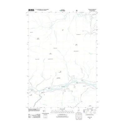
2012 Map of Gilead
USGS Topo · Published 2012About this map
The Androscoggin River flows eastward through a landscape defined by prominent peaks and river islands in this Oxford County survey. The settlement of Gilead occupies the southern bank near the confluence with the Wild River, a point where transportation corridors follow the natural valley floor. Numerous river features, including Philbrook Island, Peabody Island, and Blake Island, reveal the shifting course of the water through the lowlands. Higher elevations are marked by distinctive landmarks such as Tumbledown Dick Mountain and Jakes Notch. For those researching local families, the Chapman Cemetery and named roads like Monkey Brook Rd or Gordon Mountain Rd provide specific points of reference for tracing early land use and heritage in the mountains of western Maine.
Find a feature on this map
47 named features on this map. Tap any name to fly to it.
Don’t see what you’re looking for? This feature index may not catch every label — zoom into the map to look around manually.
Map Details
Editions of this 2012 Gilead Map
This is the sole edition of this map. No revisions or reprints were ever made.
Other maps of this area

1893 · Gorham
USGS Topo · 1:62,500

1896 · Gorham
USGS Topo · 1:62,500

1914 · Bethel
USGS Topo · 1:62,500

1930 · Milan
USGS Topo · 1:62,500

1933 · Milan
USGS Topo · 1:62,500

1934 · Milan
USGS Topo · 1:62,500

1937 · Gorham
USGS Topo · 1:48,000

1940 · Bethel
USGS Topo · 1:62,500

1941 · Bethel
USGS Topo · 1:62,500

1942 · Gorham
USGS Topo · 1:62,500