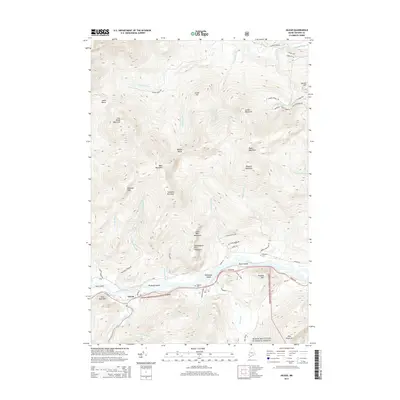
2014 Map of Gilead
USGS Topo · Published 2014About this map
Gilead sits at the confluence of the Androscoggin River and the Wild River, serving as a gateway to the high peaks of the White Mountain National Forest. This 2014 survey captures the township's characteristic river-valley settlement pattern, where the population centers around US Hwy 2 and the fertile alluvial plains of Peabody Island and Philbrook Island. The northern terrain is dominated by the Sunday River drainage and a series of significant peaks, including Tumbledown Dick Mountain and Black Mountain. Local history and genealogy are preserved in sites like the Peabody Cem and Chapman Cem, which anchor the landscape to the early families who settled these narrow valleys. The map illustrates a landscape of working forest and recreation, with numerous access points like Sunday River Rd and North Rd leading into the timbered interior.
Find a feature on this map
57 named features on this map. Tap any name to fly to it.
Don’t see what you’re looking for? This feature index may not catch every label — zoom into the map to look around manually.
Map Details
Editions of this 2014 Gilead Map
This is the sole edition of this map. No revisions or reprints were ever made.
Other maps of this area

1893 · Gorham
USGS Topo · 1:62,500

1896 · Gorham
USGS Topo · 1:62,500

1914 · Bethel
USGS Topo · 1:62,500

1930 · Milan
USGS Topo · 1:62,500

1933 · Milan
USGS Topo · 1:62,500

1934 · Milan
USGS Topo · 1:62,500

1937 · Gorham
USGS Topo · 1:48,000

1940 · Bethel
USGS Topo · 1:62,500

1941 · Bethel
USGS Topo · 1:62,500

1942 · Gorham
USGS Topo · 1:62,500