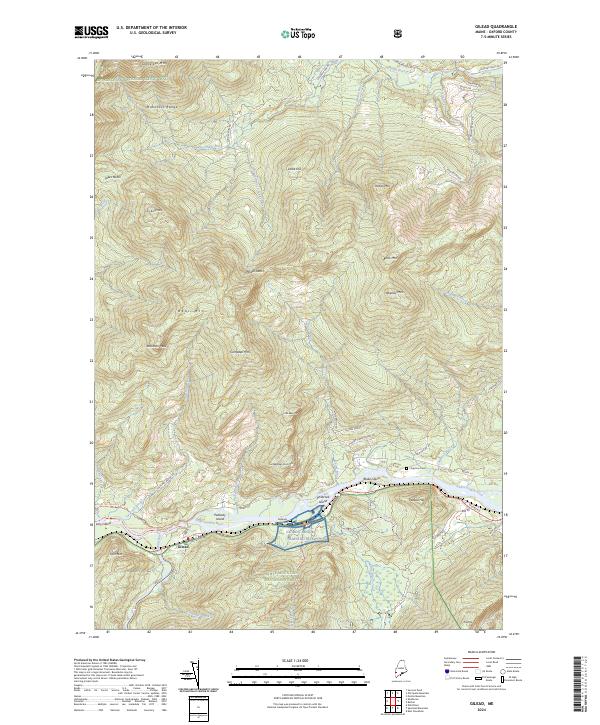
2024 Map of Gilead
USGS Topo · Published 2024About this map
The Androscoggin River winds through the heart of this Oxford County landscape, creating a fertile valley flanked by the steep elevations of the Mahoosuc Range and the White Mountain National Forest. In the river's path, several large landforms like Peabody Island and Philbrook Island dominate the waterway near the settlement of Gilead. The valley floor is also home to the NG Bog Brook Training Site, while the surrounding heights are defined by numerous peaks such as Bear Mtn, Tumbledown Dick Mtn, and Robinson Peak.
Find a feature on this map
60 named features on this map. Tap any name to fly to it.
Don’t see what you’re looking for? This feature index may not catch every label — zoom into the map to look around manually.
Map Details
Editions of this 2024 Gilead Map
This is the sole edition of this map. No revisions or reprints were ever made.
Other maps of this area

1893 · Gorham
USGS Topo · 1:62,500

1896 · Gorham
USGS Topo · 1:62,500

1914 · Bethel
USGS Topo · 1:62,500

1930 · Milan
USGS Topo · 1:62,500

1933 · Milan
USGS Topo · 1:62,500

1934 · Milan
USGS Topo · 1:62,500

1937 · Gorham
USGS Topo · 1:48,000

1940 · Bethel
USGS Topo · 1:62,500

1941 · Bethel
USGS Topo · 1:62,500

1942 · Gorham
USGS Topo · 1:62,500