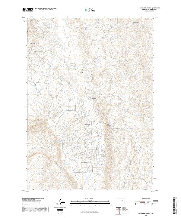
2021 Map of Gillam Draw West
USGS Topo · Published 2021About this map
Castle Rock and Saddle Rock anchor this high-desert landscape in northern Natrona County, where the drainages of Salt Cr and Teapot Cr carve deep channels through the terrain. The region's history with the federal government and oil exploration is subtly present through the namesake Teapot Reservoir and the lone arterial Naval Rd. This area is defined by its complex hydrography, featuring ephemeral watercourses like Little Bull Cedar Cr and Jimmies Cr that feed into larger basins. Strategic water management for the arid environment is evidenced by the presence of Conley Reservoir, positioned near the breaks of Little Pine Ridge. The map details the Township and Range grid across sections of T39N and T38N, illustrating the systematic land division that has governed Wyoming's open range for over a century.
Find a feature on this map
20 named features on this map. Tap any name to fly to it.
Don’t see what you’re looking for? This feature index may not catch every label — zoom into the map to look around manually.
Map Details
Editions of this 2021 Gillam Draw West Map
This is the sole edition of this map. No revisions or reprints were ever made.
Other maps of this area

1955 · Arminto
USGS Topo · 1:250,000

1958 · Arminto
USGS Topo · 1:250,000

1959 · Edgerton
USGS Topo · 1:62,500

1959 · Ormsby Draw
USGS Topo · 1:62,500

1962 · Arminto
USGS Topo · 1:250,000

1968 · Midwest
USGS Topo · 1:24,000

1968 · Salt Creek
USGS Topo · 1:24,000
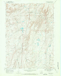
1968 · Teapot Rock
USGS Topo · 1:24,000
1981 · Midwest
USGS Topo · 1:100,000
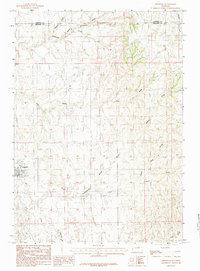
1984 · Edgerton
USGS Topo · 1:24,000