Loading...
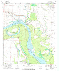
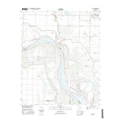
Loading map...1972 Map of Gillett
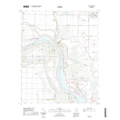
USGS Topo · Published 1974About this map
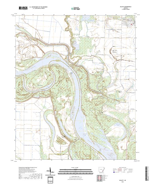
The Arkansas River dominates this landscape in the early 1970s, defining the boundaries between Jefferson, Arkansas, Lincoln, and Desha counties as it winds through the floodplain. This survey captures a complex system of active and former river channels, including oxbows like Taylor Old River and Moody Old Bayou. The extensive Levee system underscores the region's relationship with water, protecting agricultural land and the settlement of Gillett in the northeast.
Find a feature on this map
33 named features on this map. Tap any name to fly to it.
Don’t see what you’re looking for? This feature index may not catch every label — zoom into the map to look around manually.
Map Details
Date Portrayed1972
Date Published1974
PublisherU.S. Geological Survey
Map TypeTopographic
Scale1:24,000
Physical Dimensions22 x 26.7 inches
Editions of this 1972 Gillett Map
This is the sole edition of this map. No revisions or reprints were ever made.
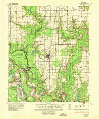
Historical Maps of Gillett Through Time
7 maps found
Featured Locations
Source Details
SourceU.S. Geological Survey
CopyrightPublic Domain